BADLANDS 3: The Granada Geopark

About an hour drive or 100 km north west of Tabernas in southern Spain, the last Badlands we explored, lies another extraordinary landscape.

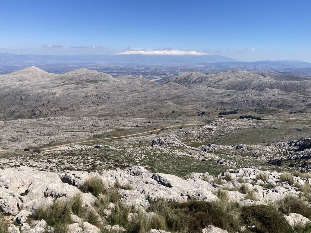
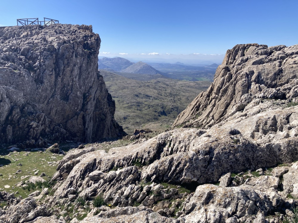
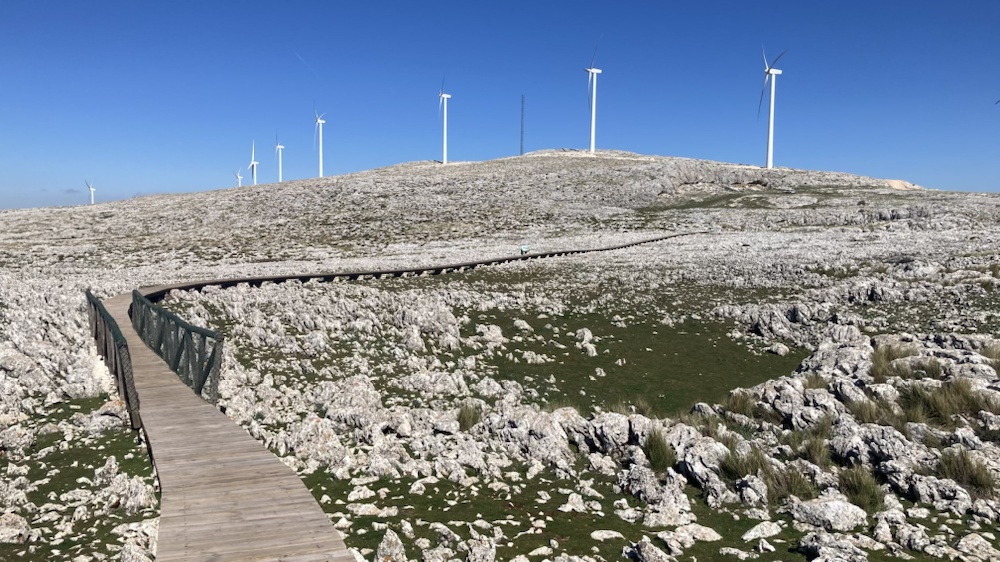
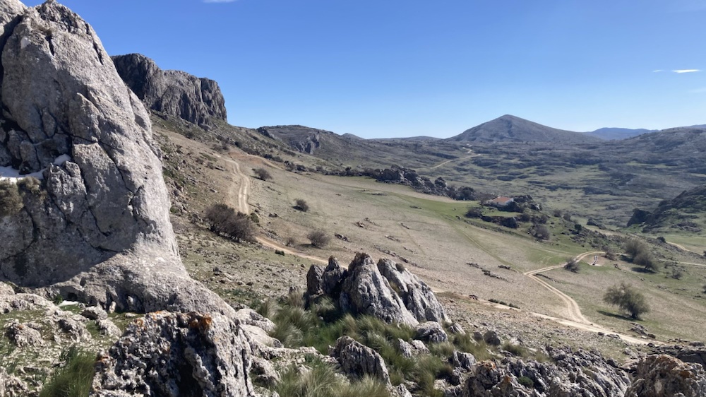
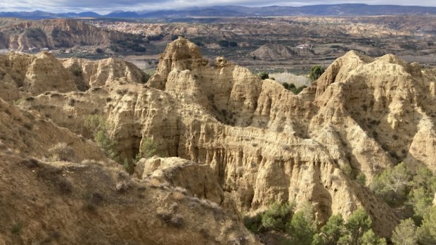
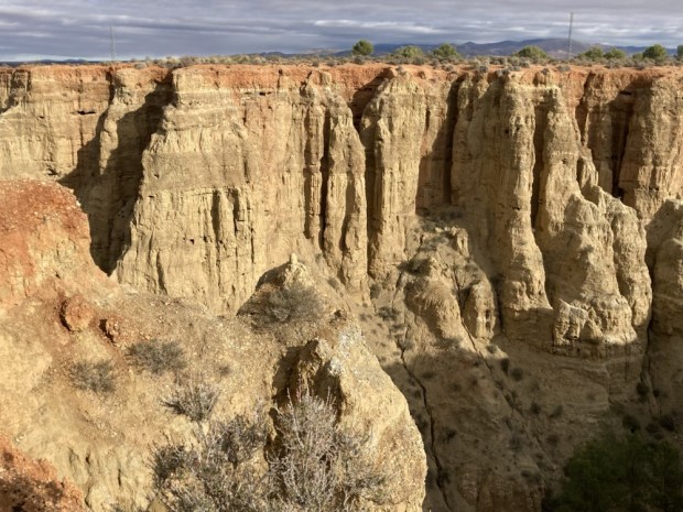
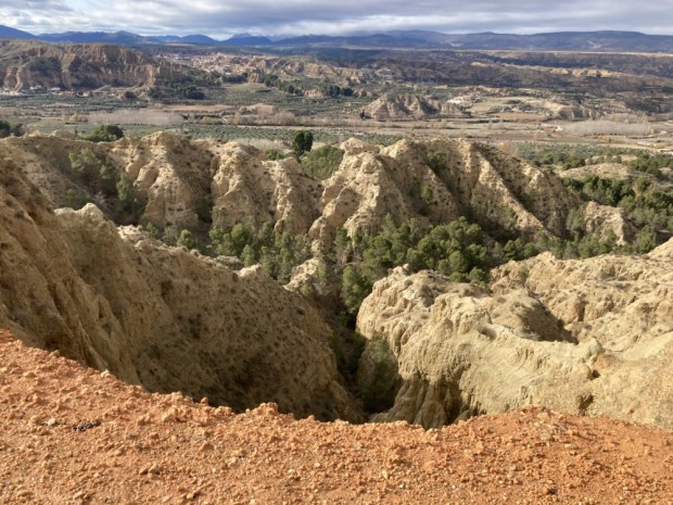
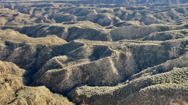
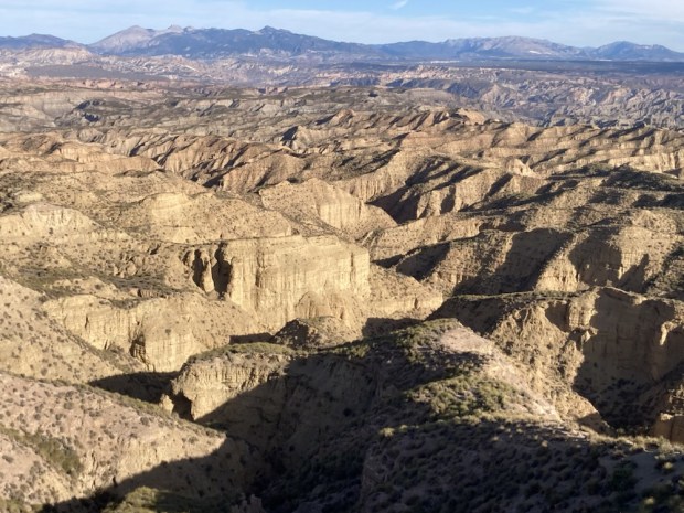
Designated an UNESCO Global Geopark in 2020 the 4,722 sq km park is a harsh semi desert of deep broad depressions, gorges, canyons, gullies and ridges with rocky outcrops and cliffs. For millions of years a vast inland lake was formed by rivers with no exit to the sea, hemmed in by a ring of mountains. Layers of sediment built up which have been exposed over the last 500,000 years as the rivers forced a way to the sea and began the erosion process that has created this surreal environment.

We had heard from friends that the area was rich in hot springs and that there was a mass of Neolithic dolmans left by the first hominids to reach Europe and had wanted to visit this relatively unvisited and unpopulated place for awhile, and Sally’s birthday was a good excuse to plan a trip.

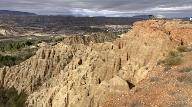
On the Camino Mozarabe from Almeria to Granada a few years ago we had walked through the southern edge of the park and had loved the area around Guadix and Purullena with all the cave houses and weirdly eroded hills. I remembered we passed a hotel that boasted a hot spring medicinal spa and were very envious of its clientele. I found it online, and booked a room for the birthday. Memories of our hike there seeped into our consciousness as we drove through a sandy wooded area on a track marked with the yellow arrows of the Camino and up to the Carcavas de Marchal, a viewpoint looking out over the Purullena badlands.

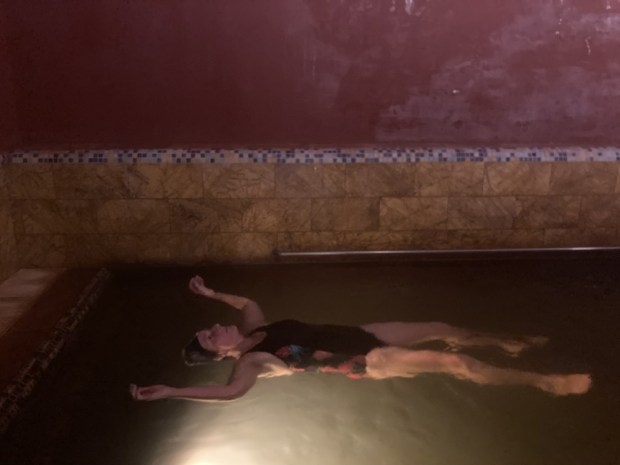
After a deep cleansing and healing in the hot mineral waters of the spa and a restful night we headed north to explore the phenomenon of the Travertinos de Los Banos de Alicun, another thermal spring.

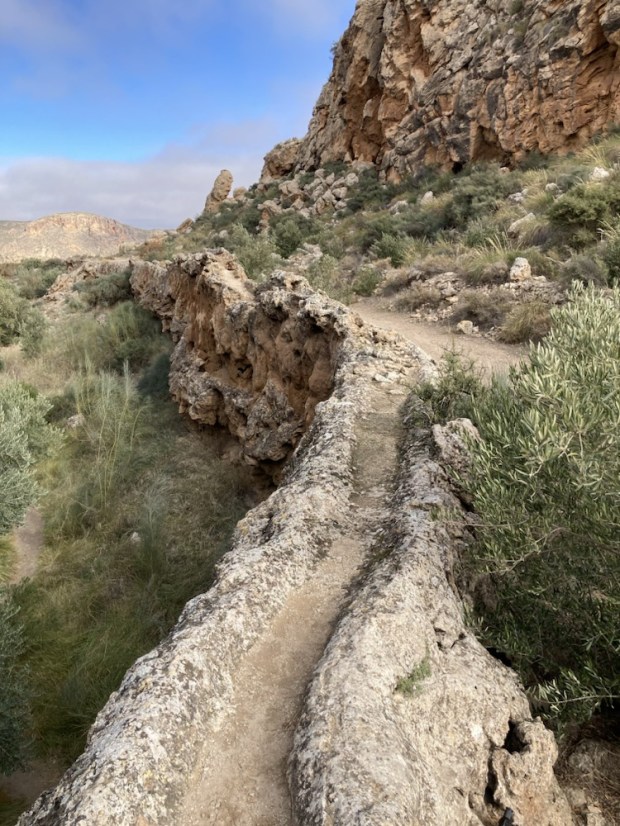
The thermal spring here, rich in calcium carbonate, emerges from deep underground, travelling up through a fault line to reach the surface at 35*C. For the last 200,000 years the strongly mineralised waters have been flowing downhill, creating a channel of travertine as they go.

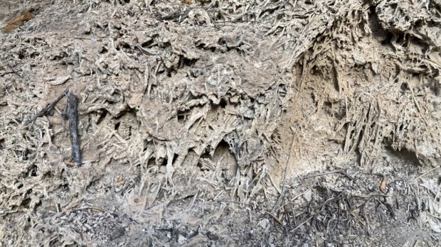
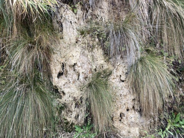
The channel of calcium carbonate rich waters precipitate, slowly building up and covering the plants and grasses that thrive there, fossilising them.

The waters were useful to Neolithic people living there who encouraged the flow towards their camping places and when the channel got too shallow it was dug out to deepen it.

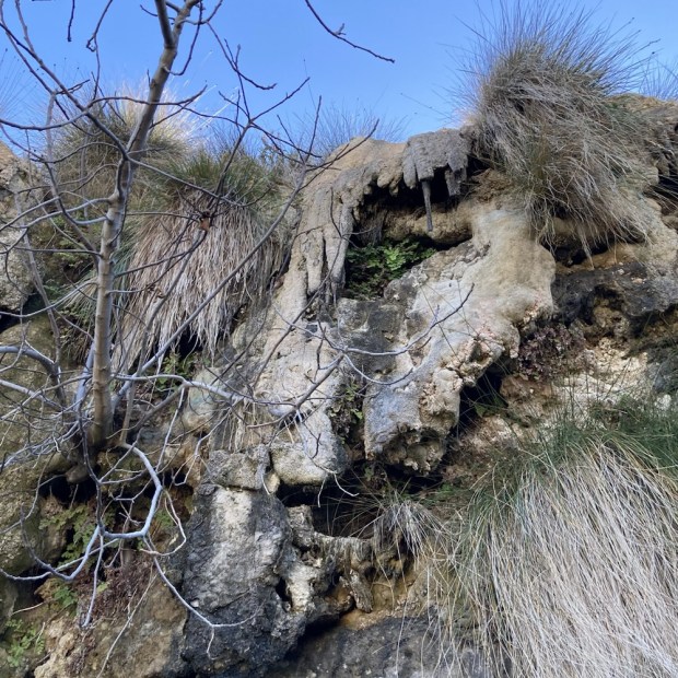
Over the millennia the walls of the acequia have grown into a towering bank 15m high and 4m wide at the base. It snakes through a fascinating area of rich vegetation and dripping water next to parched eroded desert.

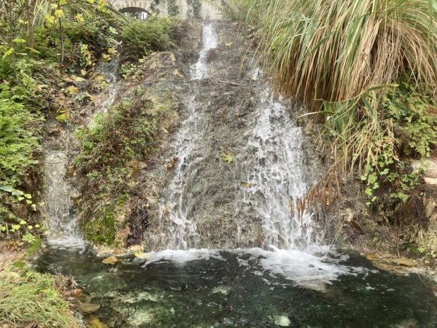
We followed the channel for over a km before arriving at a spot where the walls had been breached, the water running out to form a warm waterfall.

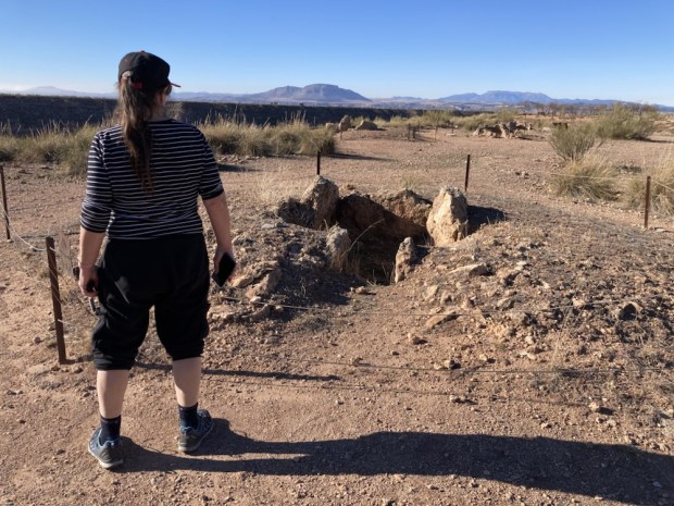
Returning to the source of the stream at the spa hotel closed for the winter we picnicked before driving on to Gorafe and up to the high plateau above the Gor river valley. This was one of the areas with the heaviest concentration of dolmens in Europe.

At a height of 900m above sea level, overlooking the arid Badlands, it is hard to know why the early settlers chose this place to build over 240 megalithic burial chambers, passage graves and corridor tombs. The dolmens were built over a period of about 1500yrs from 3000 BC when the conditions were good for the Neolithic families to establish the many settlements in the Gor river valley. The climate was wetter and cooler than today and the valley soils were fertile.

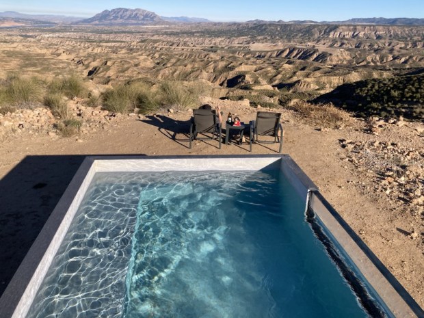
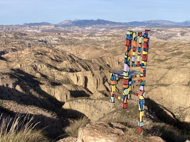
We drove on along the plateaux on a rough track admiring the deep gullies with arid sandstone buttes between us and the high plateaux on the other side of the valley. The rock is horizontally banded with red, yellow , grey and white strata. A stunning, beautiful and cruel landscape.

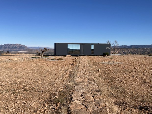
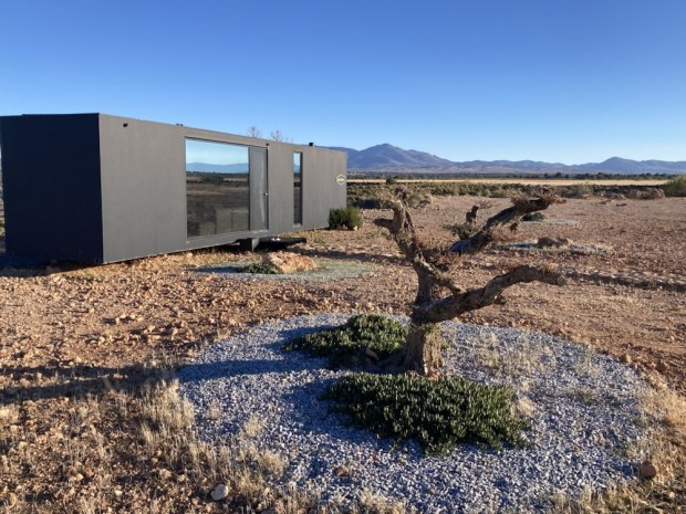
Our accommodation for the night was perched at the edge of the plateaux at the end of the track. Remote in the extreme, a self contained, off grid, designer converted shipping container, run on solar panels with all its functions controlled by an app on my smartphone.

With an electric toilet that incinerated the waste, a water recovery system that could extract 250l of water a day from the air and a bank of lithium batteries for storing the power from the solar panels this was the first of what they hope will be a collection of pods dropped into stunning locations. Fully autonomous and transportable the eco- hotel has no foundation, uses no local resources and aims to have no environmental impact.

It was a spectacular place to stay, very cleverly designed to use all of its 35sq m space well. The glass wall of the bedroom afforded a stunning view of the star studded night sky and in the morning the valley below was shrouded in low cloud.

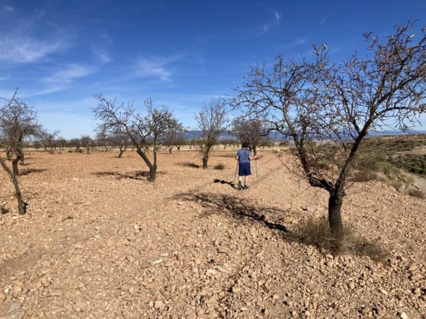
It was hard to leave but we had more to look forward to on the top of the plateau opposite and after check out we explored some of the area, crossing the stony almond fields and discovering some old shepherds cave houses and animal pens dug out of the sandstone butte.

They were a little rougher than the caves developed for tourist accommodation we came across further on , situated high above Gorafe town.

The next development we discovered way out in the middle of nowhere was an observatory. A new educational and Astro tourism centre taking advantage of the near zero light pollution. This has been designated a ” dark sky zone” and is the perfect spot for star gazing as we had discovered in the podtel. As it happened there was an all night programme of events to be held there that night but as you had to book in advance, pay €30 each, and stay up all night to listen to Spanish we didn’t understand we decided- not for us.

( Not my photo)

Besides we didn’t want to abandon our futuristic home for the night, which we had spotted on the horizon. La Casa Del Desierto.

Another off grid, autonomous space raised up on a mound containing services, this one also afforded awesome views out over the corrugated hills and folded landscape below the plateau’s rim. The three sided totally glass clad structure gave no privacy and had been fenced off from the curious eyes that had bothered some of the earlier guests.

An extraordinary space in an extraordinary place- the three small interior spaces of bedroom, bathroom and kitchenette were surrounded by a verandah under an overhanging roof, giving all day shade. But with no cooking facilities it was not a place to stay for long and so our one night was enough.

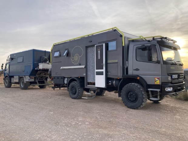
Before dark we hiked over to another look out spot at the end of a narrow path to the point of the bluff, passing some serious campers ready for this environment.

We made it back before the sun disappeared in a glorious palette of colour and the stars came out.

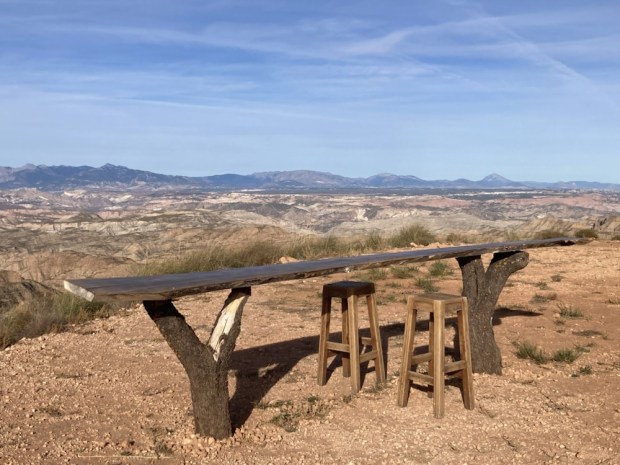
In the (25*c mid December) morning we sat at the table but not on the one legged high chair gazing out at the bizarre surroundings- soaking in the dry, the heat, the emptiness and the silence- before reluctantly getting into the car and turning for the west. Towards Ireland and home.

SINTRA HILLS: Close to Heaven

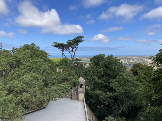
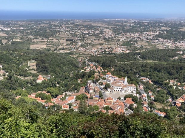
The Sintra-Cascais Natural Park, a 145km2 area about 25 km north and west of Lisbon contains within it a mini Sierra of lush forested peaks favoured by cooling winds and beautiful views. The Sintra Hills, adopted as summer residence by kings, noblemen and bourgeoisie were given World Heritage status as a Cultural Landscape recognising its harmonious blend with nature.

Studded with constructions of peace, war and opulence that nestle into the folds of flora we spent a week exploring on the steep paths meandering through the sites.

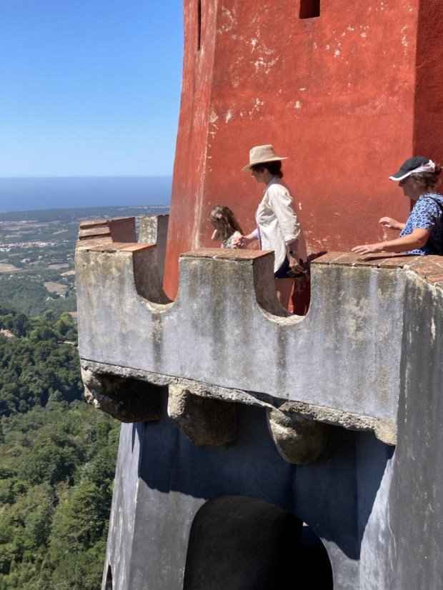
Visible from Lisbon on a clear day and one of the Seven Wonders of Portugal, Peña Palace started as a simple chapel in the Middle Ages after an apparition of the Virgin Mary appeared on the hilltop above Sintra. The monastery built on the site was later reduced to ruins in the 1755 earthquake. King Ferdinand acquired the monastery and all surrounding land and commissioned the Romantic style palace built between 1842 and 1854.

Used as a Royal Palace until the Republican Revolution of 1910 it was turned into a museum by the State and has become a hugely popular attraction. A bit too much of a honeypot for my liking drawing long lines of queuing punters to shuffle through the palace interior. I preferred the dramatic views from the impressive external walkways.

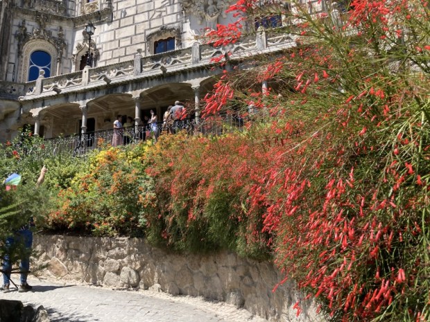
The Quinta ( villa/ estate/farm) da Regaleira is another massive Romantic style pile surrounded by exquisite landscaped grounds but right on the edge of the historic area of Sintra town.

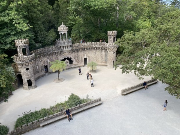
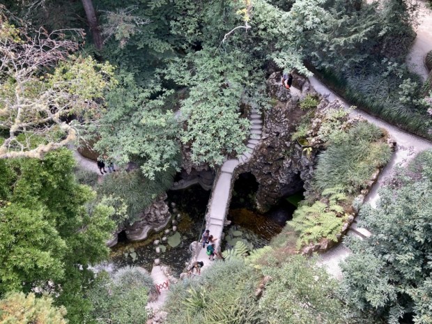
Once again put off by long queues to view the palace interior we headed off to explore the 4 hectares of gardens featuring grottoes, ornate benches, wells, lakes, tunnels,fountains and towers all added when Carvalho Monteiro employed Italian architect Luigi Manini to build enigmatic constructions holding symbols of his esoteric interest in alchemy , Masonry, Knights Templar, Rosicrucians and Primitivism in the early years of the 20th c. It was all finally opened to the public in 1998.

One queue we were prepared to join for half an hour was to enter between two huge granite boulders and descend the Initiation Well- never served as a water source but used for ceremonial purpose.

An incredibly constructed and engineered whimsy it consists of a beautiful 27m spiral staircase lined with small niches leading down to a stone compass with Templar cross.

Blindfolded candidates holding swords close to their hearts descended the 9 flights of steps and walked the labyrinth of underground tunnels towards ” the light” and then a chapel to be welcomed into the brotherhood. Another simpler ” well” construction also connects via tunnels but was closed when we visited.

We followed in the footsteps of the initiates down a warren of laboriously built tunnels to emerge at the fountain and lake we were towering above earlier.

After wandering many paths and admiring the work in more grottoes and soaking up the vistas of the surrounding green coated hills it was time to explore the other side of them.

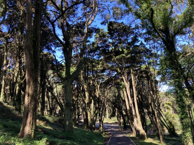
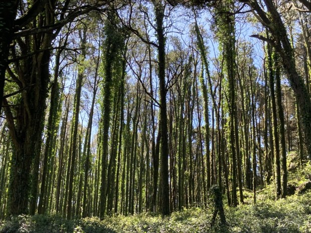
The thickly forested road we drove up to reach the Sanctuary of Peninha was suddenly closed off, so we hiked up the last 2.5km of luckily shady tarmac, admiring the towering trees and the views between them.

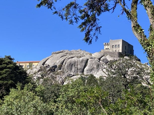
The Peninha hills have been home to a small hermitage since Christianity arrived in Portugal, added to over the centuries and used by monks until the dissolution of the monasteries in 1834. It was still occupied by farmers until the 1960’s. As well as the Baroque Chapel from 1710 there is also at the very peak the unfinished Palace of Peninha, dating from 1918 and built by August Monteiro, the owner of our last stop, the Regaleira.

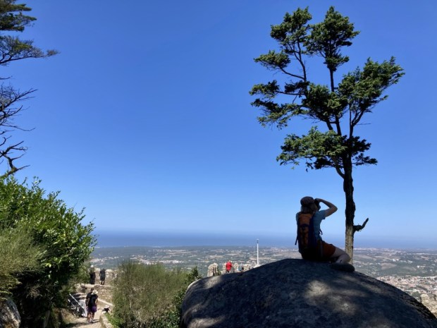
At 450m on top of a rocky outcrop the 360* views are outstanding from Cabo do Roca, Europe’s most westerly point all the way up the coast and over the inland Sierras to Lisbon and beyond.

It was another visitation of the Virgin Mary to a young shepherdess that prompted Kings John 111 and Dom Pedro 11 to fund the chapel- unfortunately not open to the public- considered an excellent example of Baroque architecture with an interior entirely covered by ornate tiles depicting the life of Virgin Mary.

Purchased by the government in 1991 there is now a management plan to promote nature conservation and education on site an hopefully increase access.

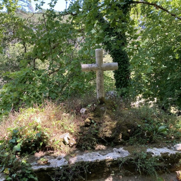
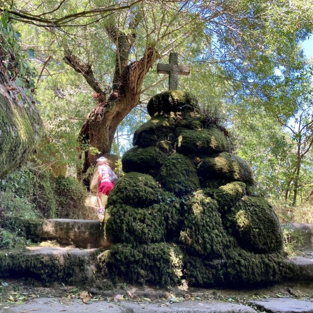
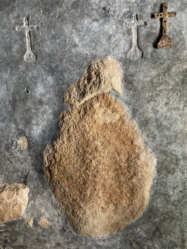
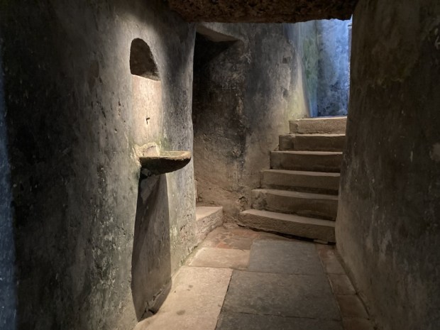
The Convent of the Capuchos, another remote and tranquil place of contemplation high in the Sintra Hills, was founded in 1560 by the Viceroy of India for a pious community of reclusive monks who occupied the cramped and humble spaces of the complex until the dissolution in 1834. We followed the well trodden cobbled path past crosses and bell ropes to gain access to a remarkable space.

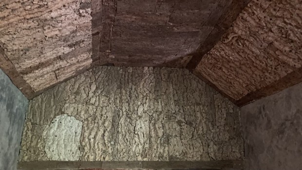
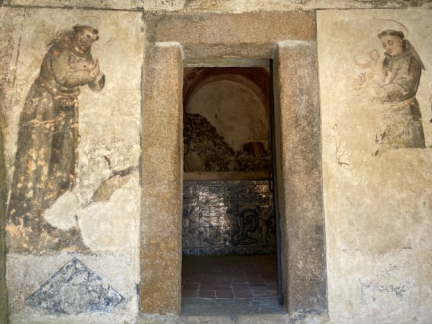
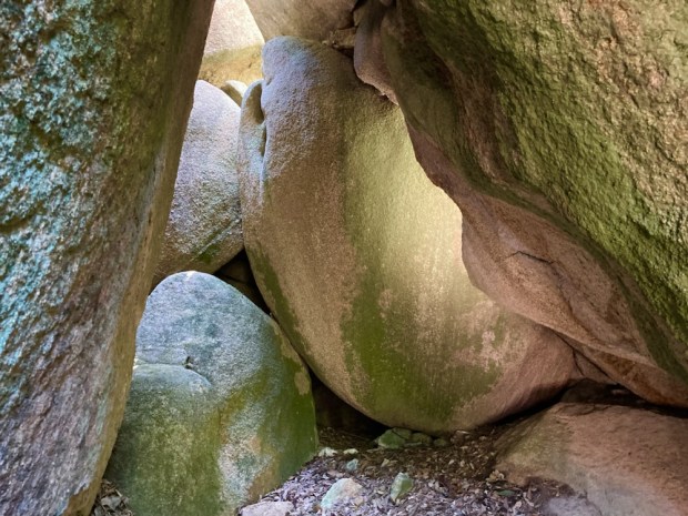
The most distinguishing feature of the convent is its symbiotic and harmonious setting, built into and surrounded by the granite boulders of the mountain – and the unique use of simple cork sheeting to cover doors, walls and ceiling, the only offering of comfort among the basic austerity.

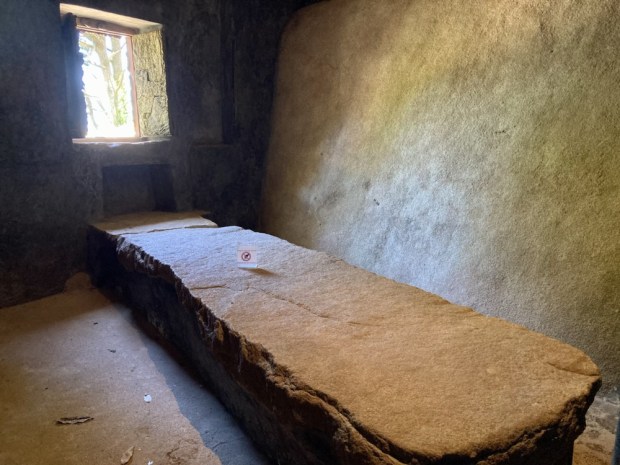
The various spaces and buildings are constructed on steeply sloping ground – each level signifying ascendency and purification of the spirit. Poverty was the main driver behind the monastery construction – small , cramped, simple with low doors and minimal decoration.

In 1581 king Philip 1 said ” Of all my kingdoms there are two places I estimate especially, El Escorial for being so rich, and the Convent of Capuchos for being so poor”

A life of contemplation that’s hard to contemplate- especially that of Friar Honario who lived to be 100years old despite spending his last three decades in penance, living inside a small hole in the convent. With a sense of claustrophobia building it was good to get out and explore some spaces through a remarkable door of hinged granite.

The community would have been supported by its surrounding farmland and irrigated gardens and it was heartening to see that areas were still used by some local people for growing organic veg.

The next day we took a tuk tuk up from Sintra to the entrance of the Castle of the Moors, whose dipping and diving castellated walls encircle the summit of the hilltop above the town.

Built by Moors in 8th and 9th centuries it served for hundreds of years as a strategic defensive lookout point during the Reconquista before being taken by Christian forces after the Fall of Lisbon in 1147. Its another romantic site with mossy walls and paths through tumbles of giant granite boulders. A double line of military walls 450 m long can be patrolled with views over luxurious forests to the town below.

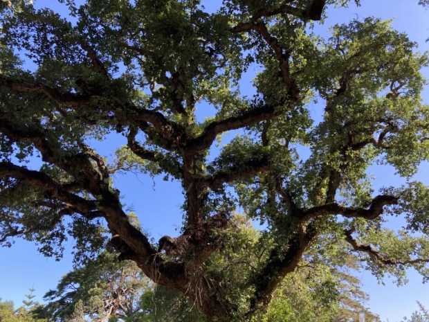
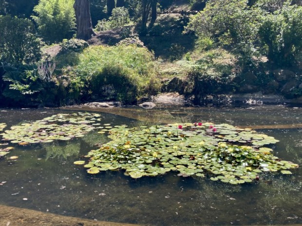
Saving the best till last we arrived early at the Monserrate Palace with a picnic to enjoy in the glorious Park. Opposite the entrance was a lake that served as a water source and in leisured times a boating and swimming pool, set amongst a woodland of giant cork oak.

The palatial villa was started by Gerard de Visme in 1790’s but completed by Francis Cook after 1863 with the Architect James Knowles designing a mix of Romanticism and Moorish Revival. Pretty spectacular.

But first the acres of gardens. A multitude of paths led down through a range of plantings from around the world and the various fountains, waterfalls, pools and canals would, after the winter rains be very spectacular.

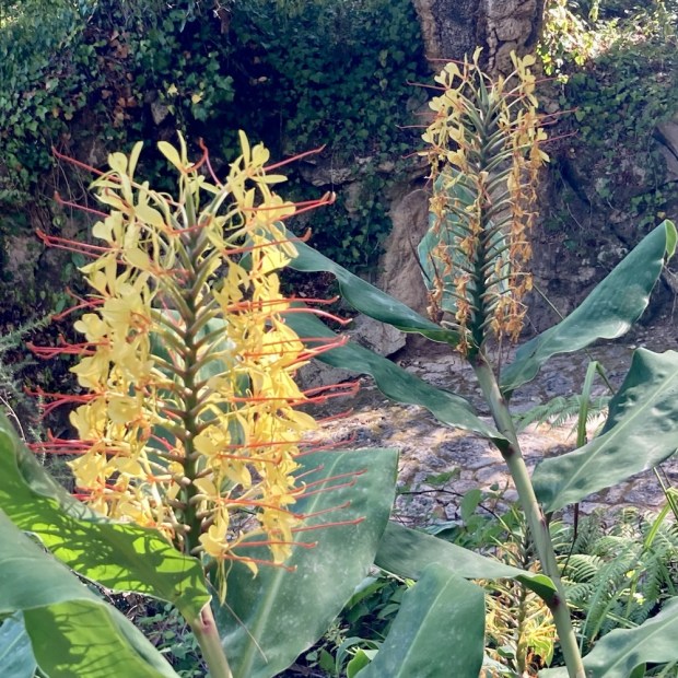
With large groves of exotic tree fern from Australia , camellia, azalea, rhododendron etc from the Himalayan zone, palm and agave from the desert region and a whole Mexican area it was indeed an electric collection but put together beautifully.

There was a ruin, built as such, being smothered by an Australian rubber tree with long roots draped across the stonework.

A hillside of rose planting, all spent under the hot dry summer sun, led to lush lawns , studded with exotic trees, below the palace.

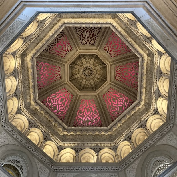
The interior was as exotic as the planting with detailed Islamic inspired stucco plaster work ,ornate ceilings and long marble corridors leading to all the open and doorless reception rooms.

We could see why the park had been honoured with a European Garden Award for ” Best Development of an Historic Park or Garden”

And see why Sintra was on the UNESCO World Heritage list as a Cultural Landscape. Go see for yourself.

DELPHI and SCREEB: Sporting Lodges of the Wild West

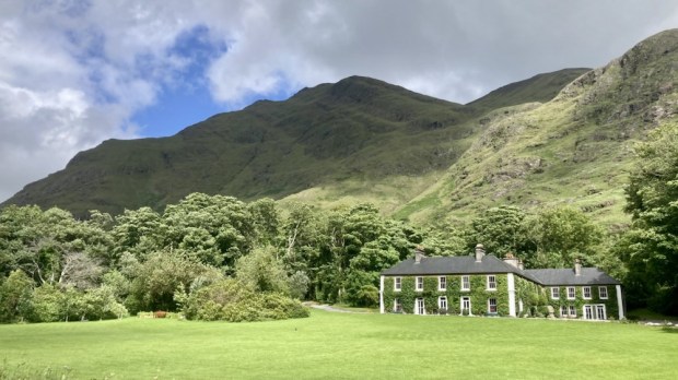
A micro adventure into luxury in the midst of savage beauty took us north around Killary Fiord and into Mayo and the lonely Delphi valley. Following the Bundorragh river up from the little harbour on the fiord we passed Fin Lough and swept up the tree lined drive to the serenely cosseted environs of Delphi lodge.

The 1000 acre estate and Georgian country house , built for the Marquis of Sligo in the 1830’s, is a renowned salmon and sea trout fishery surrounded by the tallest mountains in Connaught. At great pains to point out it is not run as an hotel ( no room service, no tv, no porter, no menu choices etc) it is still very popular with paying guests, many of whom return time and again to fly fish and relax. The dining is communal around a massive oak table and the bar is self service/ honesty book. There’s a billiards room, a library well stocked with shooting and fishing tales and a sofa stuffed lounge where canapés are served pre dinner.

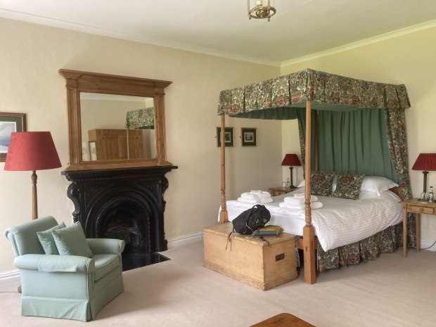
King Charles, or Prince Charles at the time, had stayed in our room for a couple of nights on a solo painting and fishing trip back in 1995, the very first trip by a British royal to the republic since the foundation of the state. I fancied I could smell the privilege around the four poster bed.

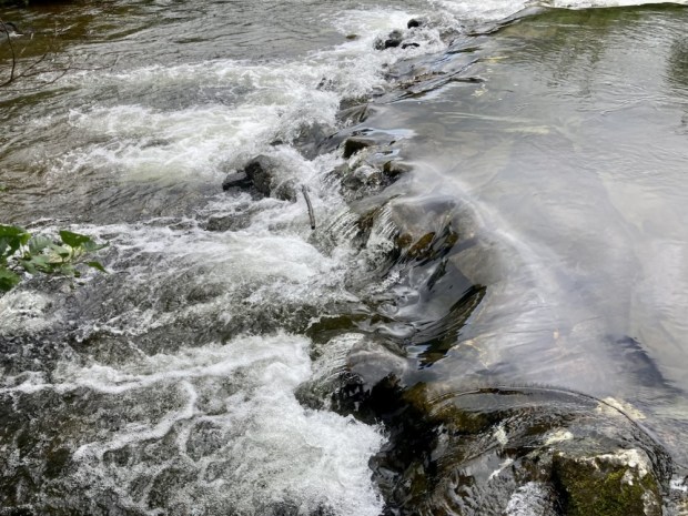
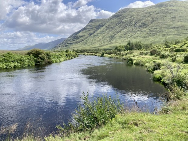
With the scudding tumulus creating a light show of sun and shade across the lake and mountains we were drawn out to explore. Following the Owengarr river upstream from Fin Lough towards Doo Lough we marvelled at the clarity of the water. Before too long we reached the hatchery where 50,000 salmon smolts are raised and released a year, dramatically increasing the salmon population. To protect the genetic integrity of the wild fish all those from the hatchery, marked by clipped fins, are killed if caught whereas any wild fish must be released. All sea trout are released. The big circular tanks were writhing with life.

Walking back through the woodland we noticed the invasive rhododendron had been effectively dealt with by cutting slots and presumably poisoning. The Atlantic Rainforest climate made for a mossy green environment in one of Irelands wettest places.

After our night in the room resonating with the memory of a royal we travelled up the road a little to the scene of a famine era tragedy caused by a heartless colonial British Empire.

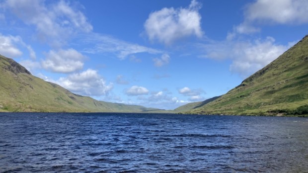
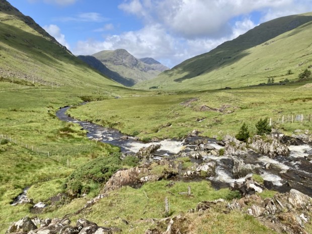
I’d been on a couple of the Famine Walks from Delphi Lodge to Louisburgh mentioned above and found them a powerful collective experience that focuses on the many injustices that continue around the world. The fine weather removed the gloom that can linger here under a dark and oppressive sky and we took a trip a little way up the Glenummera river that runs into Doo Lough from the Sherry Hills to the east.

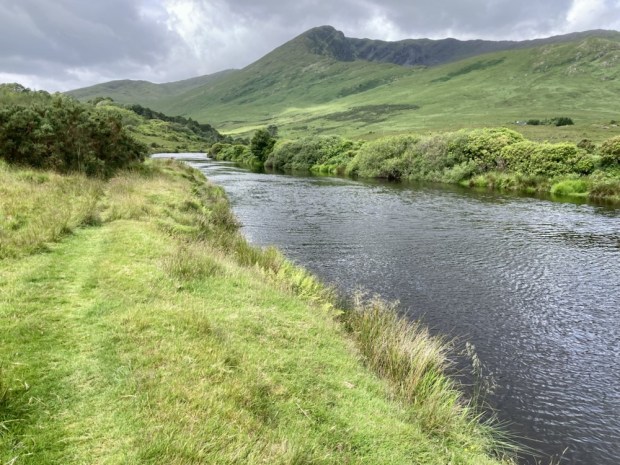
Returning to Delphi and saying our goodbyes as the fisherman cast their flys into the lake we moved back south to the head of the fiord to walk the Western Way along the Erriff river.

Starting out from the famous Assleagh Falls, where Sir David Attenborough was filmed explaining the life history of the eel and a fight sequence appeared in the movie of John B Keane’s The Field, we followed the waters upstream.

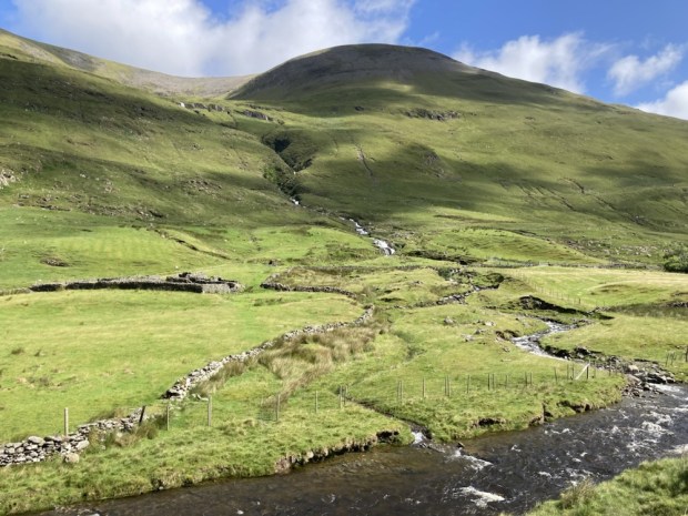
The country opened up before us, the wide Erriff valley faced with the Devils Mother to the south and Ben Gorm rearing up to the north. The river is one of Ireland’s premier salmon fishing rivers and has been designated as the National Salmonid Index Catchment, used as a prime example of a salmonid river system of high quality with a research station and trapping facilities. Managed by Inland Fisheries Ireland who carry out a wide range of research and monitoring on salmon, sea trout and brown trout, the work involves cooperation with lots of national and international research partners.

We came upon a few fly fisherman trying their luck, testing their skills, but mostly the valley was empty apart from a few sheep, one of whom had an unfortunate problem with a hugely enlarged scrotum.

The Western Way continues across Mayo for another 130 km, up past Croagh Patrick and Westport, northwards up Clew Bay, across the wilds of the Nephin Begs and the wilderness of Bellacorick bog and Sheskin forest to Ballycastle. But for us it was time to turn around and return to the Falls. We were going to Rosmuc, in South Connemara and another fishing lodge.

Screeb House on the shores of Camus bay is a vast fishing and hunting lodge. At 45,000 acres it is one of the largest hunting estates in the country and 16 red deer were introduced in 1996 after an absence of 150 years. They grew into a herd of about 150, managed skilfully by Paul Wood whose methods produced the largest stags in Britain and Ireland. Never confined and free to roam the mountains, bog, moor and forests browsing on bramble and ling heather they were selectively culled when old or frail. One stag known as The Sailor was so massive a team of 7 men with a quad bike couldn’t shift his carcass. They had to quarter him where he fell and weighed in at 50 stone, whereas the heaviest Highland beasts seldom exceed 20 stone.

The fishery includes 16 interconnected loughs and the number of rods allowed on the river beats and lakes is strictly controlled for conservation of stocks. The hatchery produces 50,000 smolts a year, like Delphi, released into the pristine waters over the estate.

The house was built in 1860 for Thomas Fuge and was bought by the Berridge family, owners of Ballynahinch Castle, brewers from London who managed to accrue 160,000 acres of co Galway. Lord and Lady Dudley also spent a lot of time there when he was the Lord Lieutenant of Ireland. Lady Dudley, shocked by the poverty of the locals and lack of healthcare set up the Dudley Nurses.

Although not medically qualified she went on to do the same in Australia,and start a flying doctor service when her husband was appointed Governor General there in 1908, and later setup field hospitals on the 1st WW battlegrounds of northern France. Tragically while back at Screeb in 1920 she went for a swim from the harbour there and was found drowned later.

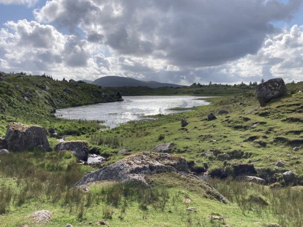
I’d spotted a dotted line on the Ordnance survey map of the area, a track, that crossed the lake studded empty wastes of the bog from Rosmuc to Maam Cross, a distance of more than 10km. Before the coast road was built in the 1850’s this was the only route there was and we followed it into the past.

The big sky and wide horizon opened up, with long sighted views across the vastness to the Bens and Maumturks beyond. The rough and rocky path took us down to the shores of Lough an Oileain, where in Penal days the mass would be celebrated secretly.

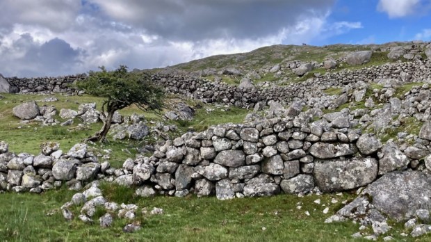
We followed the traces of the past, drawn towards a place that resonated with the ghosts of lives lived long ago. Tim Robinson, map maker and Connemara geographer, described it better than I could in his book A Little Gaelic Kingdom.

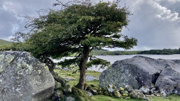
It was truly a place of melancholy spirit but with a strength and perseverance to survive in the hardest of times. The hawthorns were remarkable in their endurance but were at the end of their lives as witness to relentless hardship.

The wilderness here is to me an irresistible force and I like to think that I will be back to continue to follow the dotted line to Ma’am Cross but for now it was time for us to return to the pampered life of a house guest in a Connemara sporting lodge.

RIVERWALK: Gardens on the Awbeg and Blackwater

Another quick overnight expedition in the camper saw us down in the rich farmland of north Co Cork to visit a couple of places in the care of the OPW and discover a couple of others.

First up was a 30 acre garden and historic house on the river Awbeg, which rises in the Ballyhoura mountains and joins the Blackwater at Bridgetown Priory a few kms south of Castletownroche from where they flow east to the sea at Youghal.

Anne’s Grove was home to the Annesley family from the 1600’s until it was gifted to the Irish state in 2015. The gardens were developed by Richard Arthur Grove Annesley in the Robinsonian style of naturalistic landscape design in the early 1900’s.

Robinson was an Irish gardener who proposed a break from the regimented blocks of 1000’s of bedding plants and formal layouts popular at the time. Made possible by the removal of the ” glass tax” in1845 and the subsequent construction of large glasshouses on the estates, the amount of tender bedding raised and planted out was a gauge of wealth and status.

Robinson’s ideas were for more sustainable and ecological planting, more climate appropriate, less wasteful and labour intensive. His book The Wild Garden, written 150 years ago, was ahead of its time and became a major influence on later gardeners like Gertrude Jekyll.

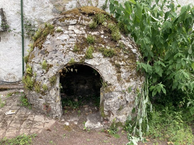
We started our rambles at the house and courtyard where the restoration is a long term work in progress. There was an impressive bread oven and cobbled dung pit and a collection of carriages.

Down to the river past a collection of tree ferns and perennial beds with a backdrop of many tree species. Richard Annesley supported plant hunting expeditions to Tibet, Burma and Bhutan and assembled an exotic collection of plants at Anne’s Grove.

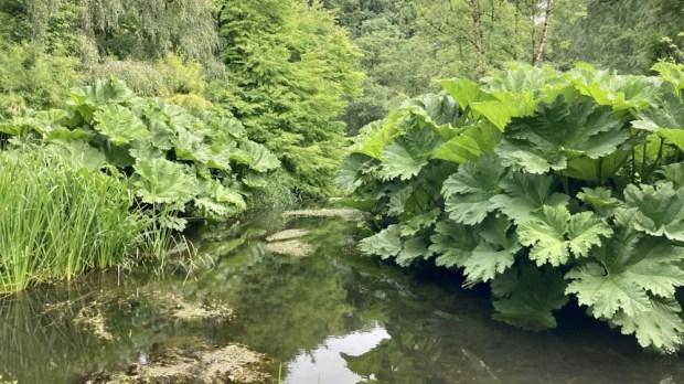
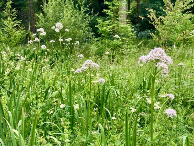
In the lush water meadows meadowsweet and Angelica were rampant and bamboo, gunnera, skunk cabbage and Himalayan primula crowded around a wealth of recent tree planting.

The Woodlands Garden holds some of the earliest rhododendrons introduced into Ireland but their flowering was over and we moved into the more formal walled garden, originally laid out in the 18th century.

In 1996 the Tree Council of Ireland planted 14,000 sessile oak with help from the Mitsubishi Electric Ireland Foundation, the same year we started our woodland plantation and it was good to see they were in similar health.

The river levels were very low after such a protracted dry spell so it was not a spectacular sight but we couldn’t get to it at all at our next stop, Bridgetown Priory.

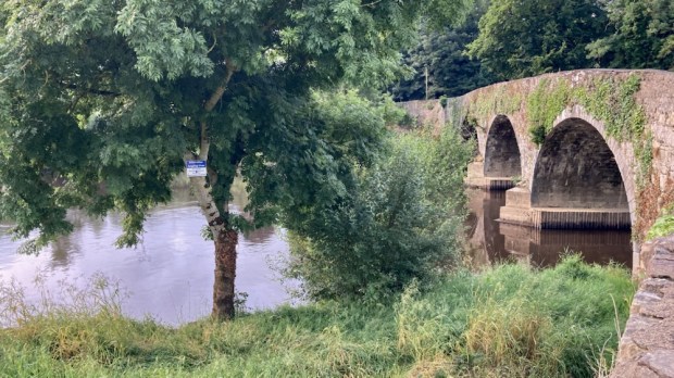
Although on the confluence of the Awbeg and Blackwater we were foiled from our hoped for riverside walk by fencing, cattle and impenetrable vegetation, so confined ourselves to exploring the impressive 800 yr old ruins.

Dissolved by Henry VIII in 1541 it stood cloaked in ivy for centuries until Cork county council undertook restoration work in the 1970’s and again in the 1990’s and 2010.

Alexander FitzHugh the Norman Lord of Castletownroche, patron of religious orders, gave land, pasture, woodland, water mills and fisheries to the Augustian Cannons to found the priory around 1210 and it became the most valuable in the diocese housing 300 canons.

The remains of the choir and presbytery, the cloisters and refectory were impressive as was a 13th century grave slab but most poignant was the tomb vault where an old woman and her two cats lived for at least a couple of years, supported by charitable locals.

Looking for a nearby level park up by the Blackwater Google Maps threw up the Nano Nagle Centre for Heritage, Spirituality and Ecology. Intriguing. The website mentioned a Cosmic Walk alongside the river- enough said.

Home to the “Old English” Nagle family of Norman descent from the mid 1300’s the estate, which gave its name to the Nagle Hills south of the Blackwater, was lost and regained twice when supporting the losing side in the Cromwellian Wars and as supporters of Catholic James 11 against William of Orange.

Nano Nagle was born here in 1718 and educated , as a catholic illegally, in France. After 20 years away she returned and , shocked by the poverty, decided to dedicate her life to the education and betterment of the poor catholic, particularly girls. To that end she became an ordained nun and founded the Presentation Congregation.
Their website states that the centre “provides tranquillity and spirituality and is the perfect location for those looking for some time out in a peaceful setting. ” That was us.

Unfortunately one of the Sisters we met said we couldn’t park up for the night because they had ” no insurance “. Hmm.

Still, the others were very nice and friendly and recommended we do the Cosmic Walk, a 2 km trail around their 30 acre organic farm with 16 stations marking out life on Earth since the Big Bang with info provided to your phone by scanning QR codes.

They say ” Our mission is to promote a vision of eco spirituality – the natural inter connectedness of everything, which leads to personal transformation and a sense of responsibility to our Earth and to all living beings”.

The info stations were sometimes adorned with sculptures of various life forms from the illustrated period and sat on rocks from all over Ireland formed at that time such as red sandstone, limestone, chalk, basalt and a lump of the ” oldest rock in Ireland” from the Annagh Series on the coast of north Mayo. They’d gone to a lot of trouble creating this Cosmic Walk.

Fair play to Nano Nagle- May her good work continue. We moved off to the neighbouring village of Killavullen for the night and more riverside rambles before heading northwest, back to the Awbeg at Doneraile. The richness of the land was such a contrast to our surroundings in the Wild West with vast fields of ripening cereal and huge farm sheds for all the straw and grain.

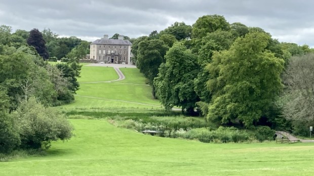
Doneraile Court, another property in the care of the OPW, is a fine example of Georgian architecture built of the site of the original St Leger family home of 1645 and surrounded by 160 hectares of walled in parkland designed in the naturalistic style of Capability Brown. A network of paths fan out across the estate free for all to enjoy.

We decided on the 3.5km Lower Walk which would take us along the river and through a variety of woodland, starting at a deer park. The sight lines towards the big house across the landscape of mature trees had been thought out for the long haul.

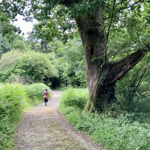
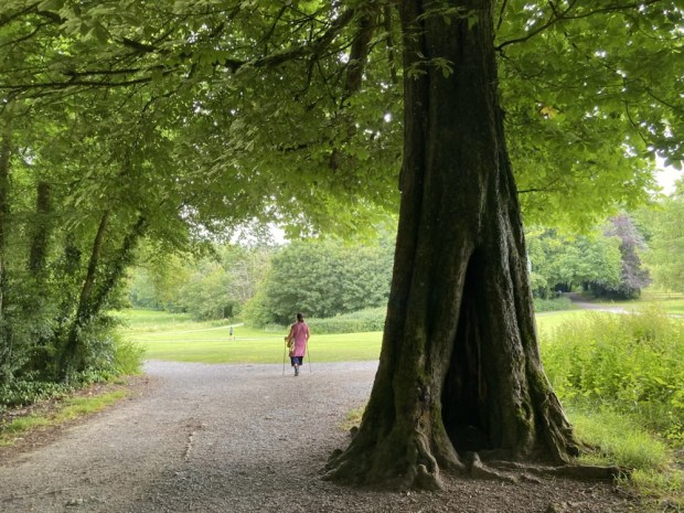
Most of the magnificent trees here were planted in the 18th century although lots of work continues across the estate. There are fine specimen trees of Lime, Cedar of Lebanon, Spanish Chestnut, Larch, Beech and Oak.

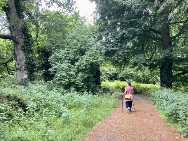
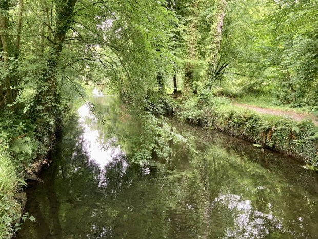
We followed the riverside path though verdant lush wetland areas of Alder and Willow being developed as wildfowl sanctuary, in contrast to the past when duck decoys were constructed to net the wild birds for the table. Rich in wildlife the habitat now supports swans, geese, ducks, herons and kingfishers feeding on the perch, pike and roach. The Awbeg here is also home to Otters and the prints of their webbed feet can be seen in the muddy river banks.

The large open grazing areas are home to Sika, Fallow and Red Deer and rare Kerry cattle. Alongside of the track stood a large stone known as the Toll Stone with some peculiar holes in it which seem to indicate a tollgate was here at some point. Nicely carved benches chainsawed from fallen trunks made for a resting spot as we admired the richness of the flower and grasses in the meadows.

The large fishponds originally built to contain fish for the table became mostly ornamental in the 19th century and water lillies planted in the upper pond became so rampant they blotted out the water completely in the summer.

Water and the control of it was a big feature in the design of Doneraile with dams, weirs, pools and canals constructed to create cascades and islands visible from the house.

It had been a nice little trip out to the fat of the land(ed gentry) in Co Cork but it was time to return to the rushes of Co Galway. A modest and sedate ramble that seems to be the way we go these days.
LOUGH GUR: A Midsummers Night’s Dream

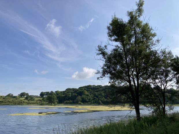
Wondering where to go to celebrate the shortest night/ longest day/mid summer Soltice I thought of Lough Gur in Co Limerick, a place I hadn’t visited in many years.

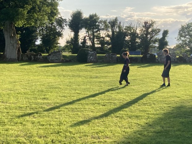
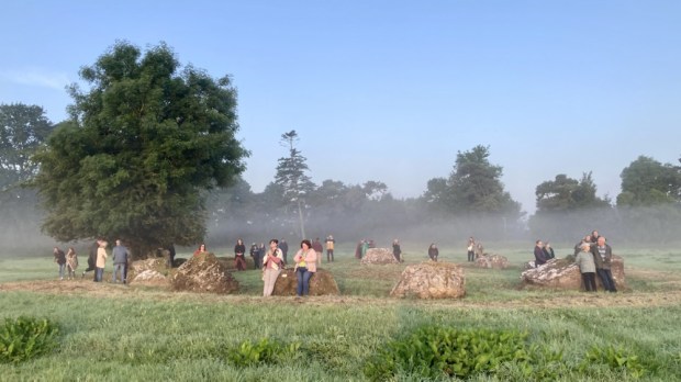
A sacred site for thousands of years and a place called home since Neolithic times I knew the area was chock a block with ancient sites of importance throughout the ages. And beautiful. And Irelands largest, and possibly oldest, stone circle – aligned to the midsummer sunrise- was still a place where the Soltice was celebrated.

So off we went, meeting our friends at the small car park by the circle where a few folk had started to gather in the evening sun light, making camp in the field owned by the friendly custodians of the land around.

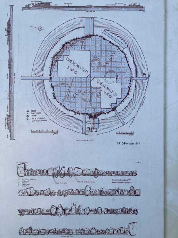
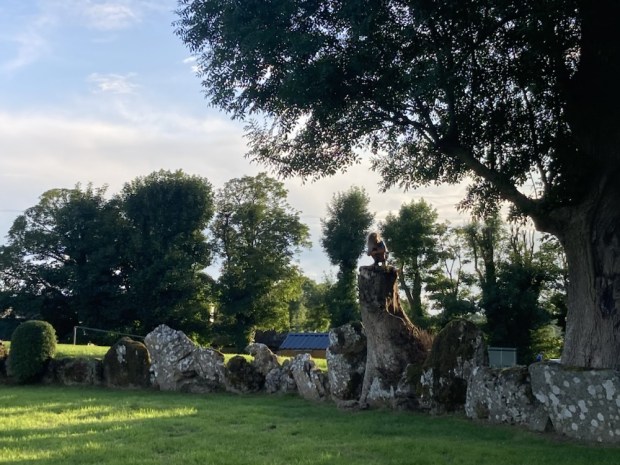
The circle is unusual in that the stones are continuous and have a big bank of earth behind them, creating a big enclosed sunken space that creates an audio delay effect when sounds created in the circle bound around the stones.

Massive and ancient ash trees grew from the bank in places, some hollow and showing their age but still magnificent, I only hope they don’t succumb to the scourge of Ash dieback. There are some particularly significant stones, including a huge slab weighing over 60 tons- the Healing stone- where I lay my back against it in the hope of better things. It is also the stone orientated to the mid summer sunrise.

The entrance to the circle is through a stone lined passage through the bank aligned NE/SW and through which the setting of the midsummer moon could be observed in the V notch opposite in 2500bc. There are numerous other alignments and orientations amongst the 113 stones in the 46m diameter circle which seem to link it’s ritual purposes to the various Soltice and equinox throughout the year but we will probably never understand what went on.

There was also a grouping of smaller stones where some votive offerings had been placed, this I discovered later was called the Harp Stone and was moved for the placement of the instrument- perhaps to avail of the sonic properties of the circle.

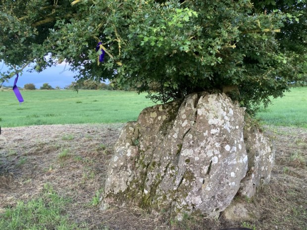
As the sun started it’s slow decent towards the horizon we went off to explore the immediate area, first to another stone circle, smaller, more spaced out, set in open country with a venerable fairy thorn growing out of a gap in one of the stones.

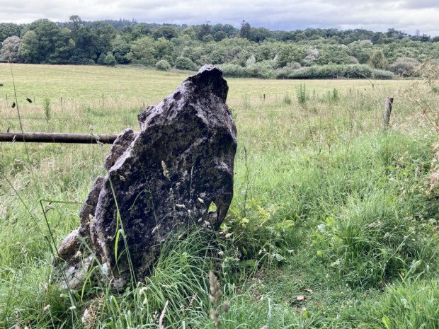
We wandered towards the hill to the east, hoping for a view of the lake and surroundings, passed an impressive 3.5m tall standing stone on a slight lean after all these years. It was on an ancient sunken track running north- south past the foundations of several hut sites and prehistoric field boundaries.

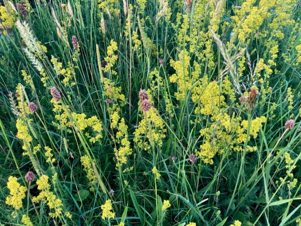
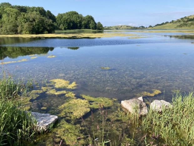
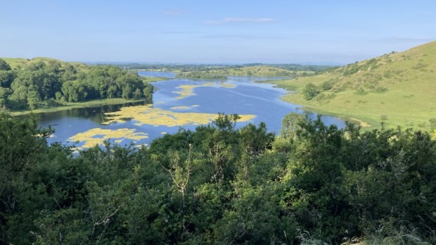
The hill behind it that we climbed was rich with wild flowers and variety of grasses, never having been disturbed by ploughing or reseeding because of the amount of rugged limestone protruding from the ground. Lady’s Bedstraw was glowing in the golden light as we reached the hilltop to gaze over the lake beyond.

As the short night descended we returned to the campers and a fire for awhile before getting a few hours sleep as some of the celebrants placed nightlights on the stones and made music and song.

Up at 4 am it was too dark for my phone camera to record the faithful circling the grassy inner space in hooded cloaks and bare feet. The vibe was a mix of mysterious cultish ritual anticipation and warm up for a midsummer song and dance. Observers sat and stood atop the earthen bank whilst others started to gather in the inner circle.

An elder, a master of ceremonies, informed the crowd of historical and geographical facts relating to the circle as well as associated myths and legends before leading the song and dances. Other more ethereal voices took their turn and a circle of hand holding drew the energy up through the participants.

Tiring of the more rowdy celebrations we took refuge in the hushed reverence of the nearby smaller circle, where the open prospect allowed for a view of the rising sun.

A beautiful clear sky, a hazy mist drifting from the dew bespangled grasses towards the glowing ball of the rising sun, the birdsong mixed with quiet voices of expressed awe all made for a surprisingly emotional experience. I don’t think I’ll experience a midsummer like it again.

The sun had reached the giant Grange circle when we returned to the campers and the celebrations continued. We breakfasted and listened to a friends live ambient music show broadcast live from the Lough Gur Heritage Park on the far side of the lake, our next stop.

The Lough Gur area is unique in Ireland for the range and density of field monuments and we drove past a good few ( wedge tomb, ring forts, early church, castles, standing stone etc) on the way to the visitor centre where a walking trail lead us past more remnants of 8000 years of human settlement.

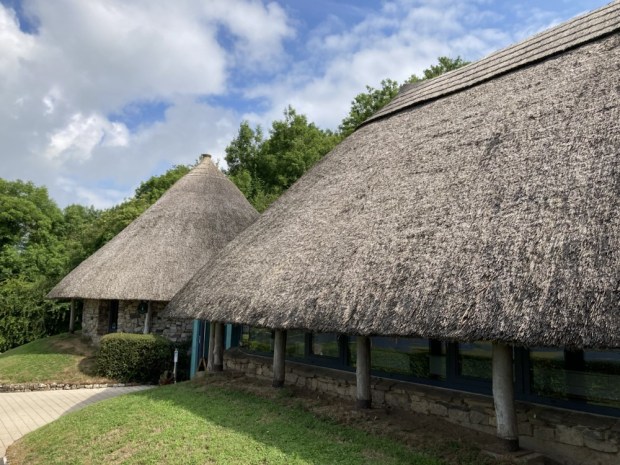
Wandering backwards and forwards in time we started at the recreated Neolithic buildings housing the visitor centre and climbed up past The Spectacles, a collection of hut foundations and small field walls in the shape of a pair of glasses.

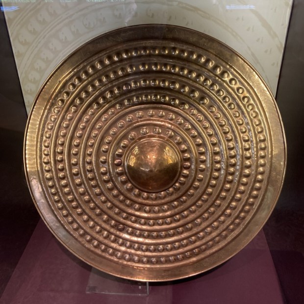
A stiff climb up stone steps had me panting at the viewpoint overlooking a landscape inhabited by countless generations of ancestors living lives unimaginable to us now. Excavations carried out over 20 years from the mid 1930’s by Prof O’ Riordain in the Grange circle had uncovered over 400 flint blades, scrapers and arrowheads and 1000’s of sherds of pottery and the bones of many wild and domesticated animals. Earlier, in 1847, when the lake level was lowered and drained for some reason a massive amount of ancient objects were discovered. Our overall knowledge of Neolithic life in Ireland has been hugely informed by the Lough Gur finds.

Stone age, Bronze Age, Iron Age, all the way through to the Middle Ages and beyond, relics are represented here. We gazed out at Bourchiers Castle, nestled in the thick woodlands granted to the Earl of Bath with 1000 acres 20 cabins and a load of cattle after being confiscated from the Desmond’s in 1580 after a failed rebellion, before returning to the lakeshore on a narrow path through the trees.

A Wishing Seat, where lovers who sit together will never be parted, was decorated with various offerings – a mythical antiquity very different to the functionality of the lime kiln next to it.

The remaining leg of the sunlit path took us past the remains of a 1680 pigeon or dove house, an important source of meat, eggs and fertiliser and the site of a crannog from perhaps 1500 years ago, once a man made island but now connected by marshy land.

We finally returned to the visitor centre to gaze at excavated finds in showcases, watch animated audio visual displays and dress up.

A costume fluid mashup perhaps but like the copies here of the real artefacts that were taken away to Dublin, it was only a recreation- the reality is lost in the mists of Lough Gur.

THE FISHERMANS TRAIL2: Barranco da Fonte to Aljezur 2 days

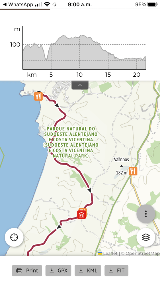
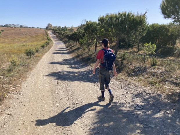
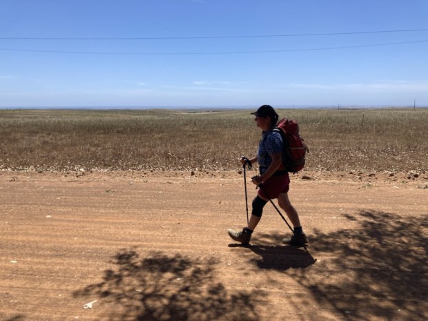
Leaving the luxury of our stay in the middle of the long 22 km stage between Carrapateira and Arrifana we only had about 10 km to go with one serious up and down. It was our last day with our friends and the penultimate one of the trip for us. We took off down the wide solid track which soon led us into eucalyptus plantations which afforded us welcome shade. The weather had been perfect the whole trip, with our rain jackets remaining at the bottom of our packs.

The trail was soon quite busy with hikers coming the other way, from Arrifana, so it could only be a few hours away. Some people I spoke to said there were no soft sand sections to come and I warned them of the slog they had coming. They needed an early start and plenty of energy to complete the whole section in one.

Emerging from the plantation we crossed a long high shoulder of rocky ground covered with low lying cistus and lentiscus with lusher valleys below. We shared the track with determined surfers in 4×4’s who risked the steep rutted track down to the boulder beach of Praia do Canal where we stopped for snacks and a breather before tackling the equally steep and rutted track up and out of the beach. The long climb was rewarded, as usual, with fantastic views back along the coast.

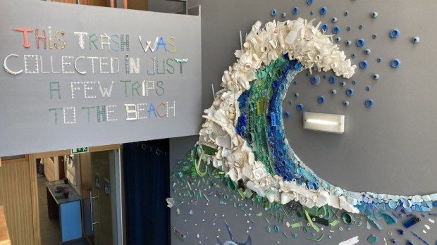
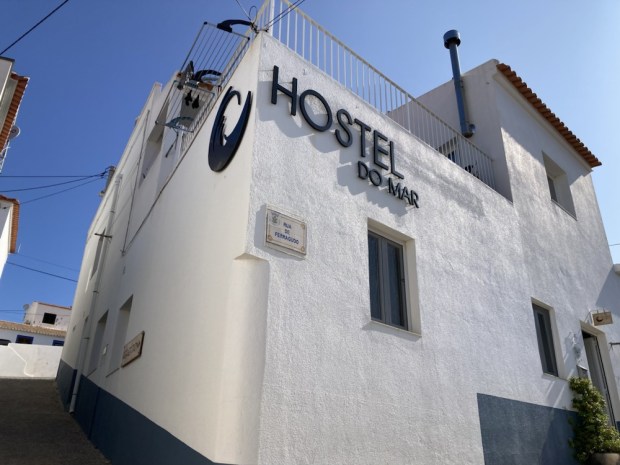
The rising ground eventually levelled off in more eucalyptus forest where we rested again and watched easier methods of transport go by. But we didn’t have far to go, the last few kms had Arrifana in view and before too long the final sting in the tail of a steep roadside climb into town was done and we were drinking refreshments poolside at our hostel high above the surfers beach from which plastic trash had been collected and made into art.

I don’t know if was the sun or one of my ailments but that night I retired early with a fever and high temperature which had gone down by the morning but still leaving me feeling weak. So after much soul searching we decided to be prudent and rather than tackling the 17.5km coastal route we would take the Historical Trail to Aljezur. And as our departing friends were driving off that way we’d take a lift a few kms too leaving us only 6km, which I figured I could crawl in the time available if need be.

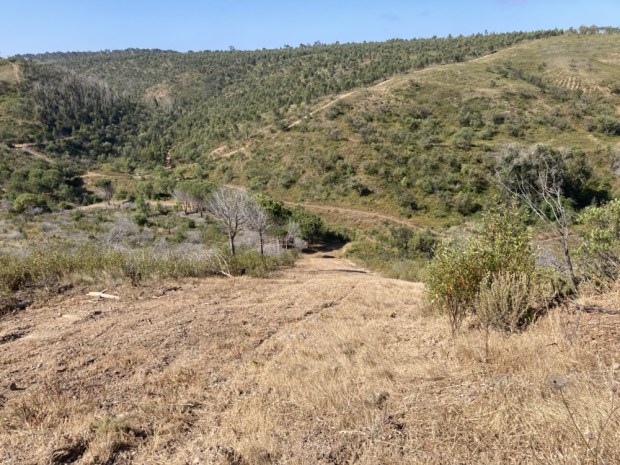
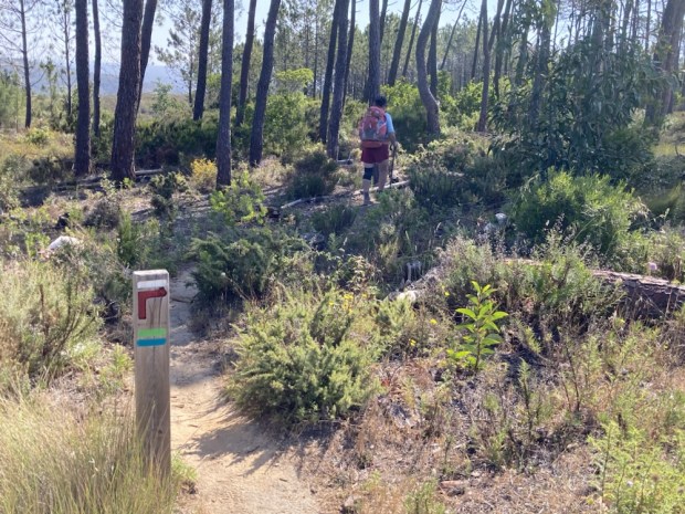
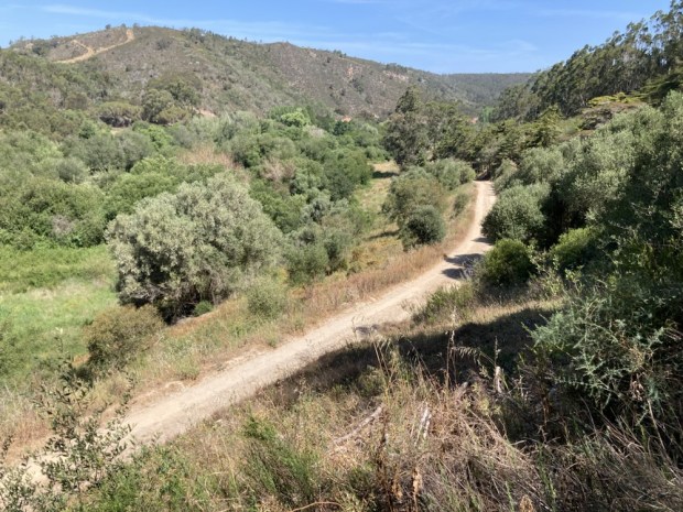
It was luckily a gentle route, with only one real descent/ ascent, on solid tracks through woods and farmland.

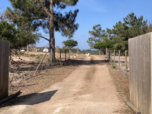
We passed some pretty sickly looking cork oaks and an alpaca farm where one of the beasts seemed to have escaped the fencing. The way crossed and followed a road a little way before again turning off on a dirt track that afforded fine views of the river valley from the coast towards Aljezur.

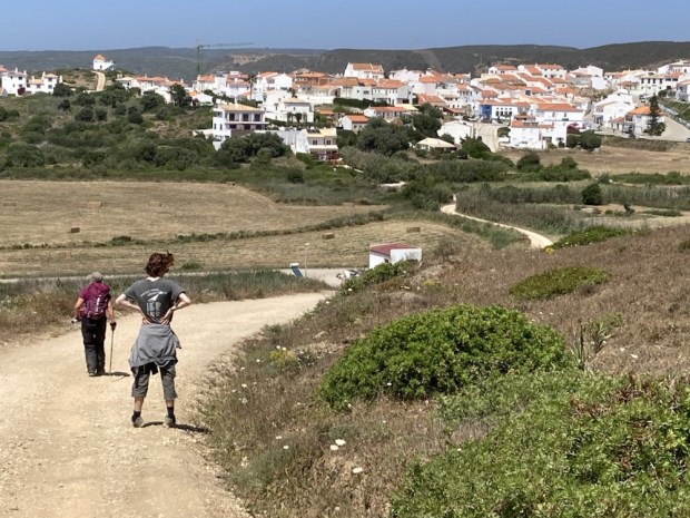
The final downhill inflicted on Sally’s knees took us past a strange hamlet of restored or built holiday houses which although fairly new looking were worse for west and unused. The path took us through the complex along a little lush valley complete with ancient moorish well and up the final uphill to be inflicted on my lungs. And then we were there, at the church, with not enough puff or desire to climb the extra distance to the hilltop castle.

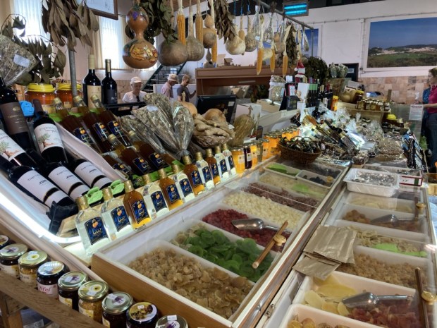
The river had, in the 15 th century been navigable all the way from the sea to Aljezur, giving the only spacious safe harbourage for miles of west coast. The town lies on the fertile plain and is famous for its sweet potatoes. With a couple of hours before we could check in the our hostel we visited the market where our first adventure on the Fisherman’s Trail started 4 years ago and then strolled to the riverside to relax and watch the crayfish.

We’d made it to the finish. Another beautiful route completed. The trail network has obviously been a huge success judging by the number of hikers we’ve seen and goes to show what can be achieved when tourist bodies, marketers, commercial interests and the public work together to create a heathly and sustainable hiking and holiday option.

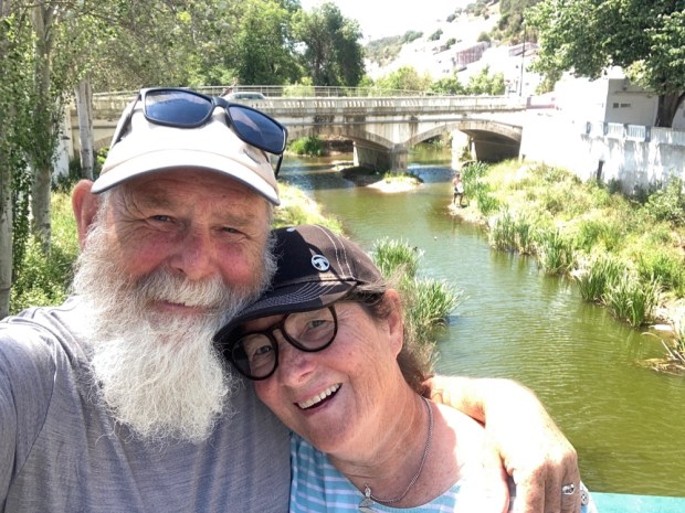
One final selfie, one final Portuguese sunrise and the journey home begins. Bom dia.

THE FISHERMANS TRAIL 2: Vila do Bispo to Barranco da Fonte 2 days.

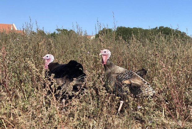
Three of us headed off from Vila do Bispo, a climbed out of the town and then a stretch alongside the road, accompanied by some turkeys and windswept trees, before turning off on sandy tracks towards the coast.

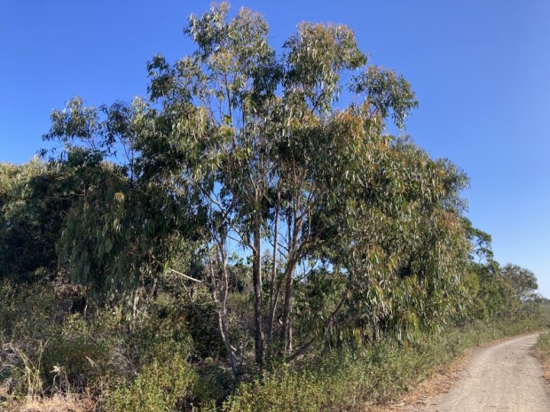
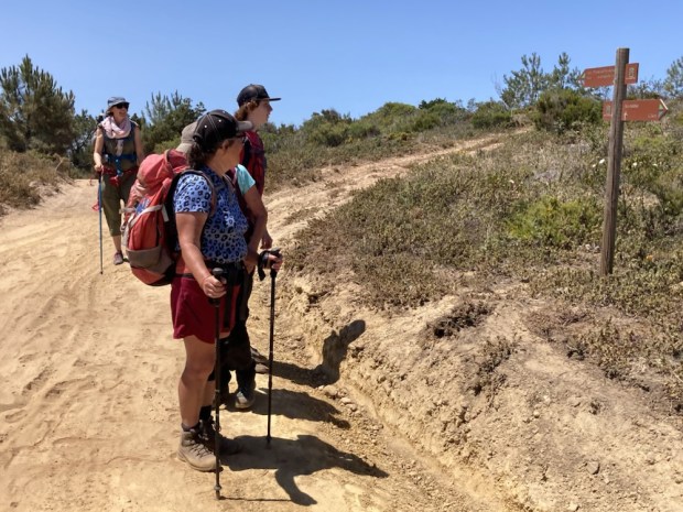
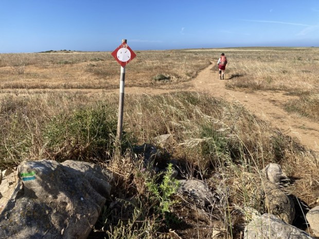
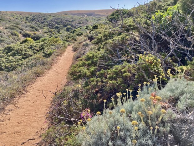
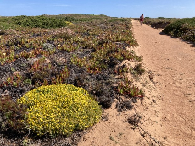
Patches of eucalyptus sheltered us from the strong wind now and again as we crossed wild and high shrubland on wide gravel tracks with the sea on one side and thickly vegetated hills and valleys on the other.

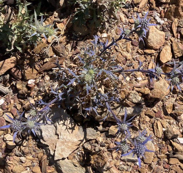
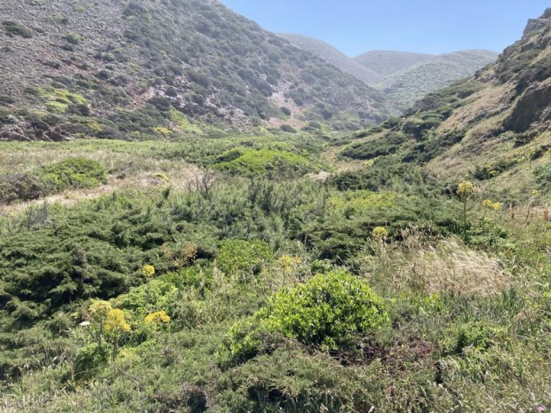
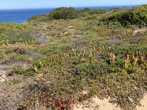
The plant life was again varied and beautiful, sometimes growing in a pure gravel bed.

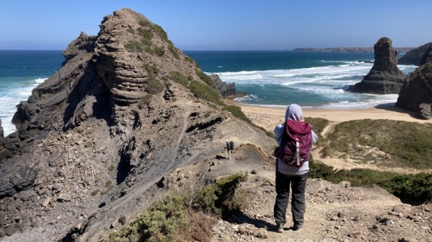
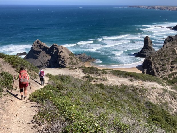
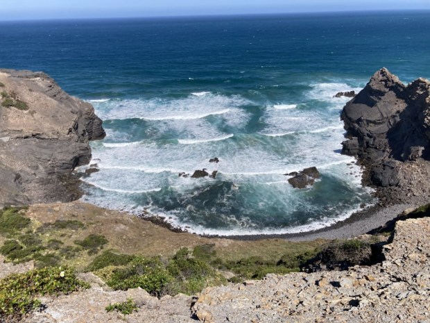
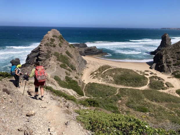
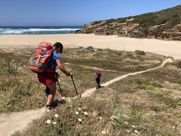
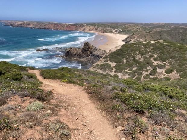
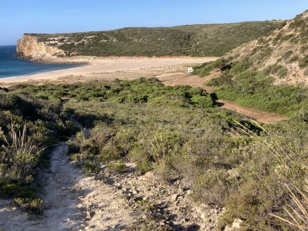
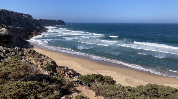
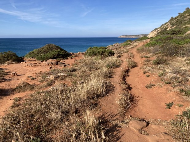
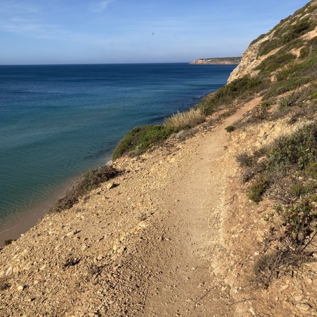
We reached the sea cliffs and climbed down into a glorious remote valley with a spectacular beach. Steeply down and steeply up again. Hard going but awe inspiring scenery all around.

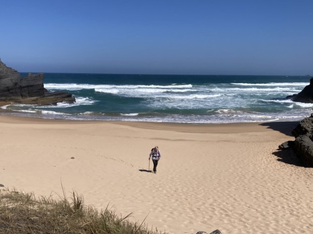
Then after a stretch along the cliff top it was another climb down to sea level to Praia da Murracao where we had a rest and admired the rock formations and I had a cooling dip in a pool sheltered by rocks from the crashing waves.

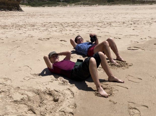
What goes down must go up again so another brutal climb up away from the beach was followed too soon with another descent to yet another huge expanse of sand, Praia do Amado, where we met our other two friends and we all carried on to the stages end at Carrapateira and our hostel, glad to arrive after 15.5km.

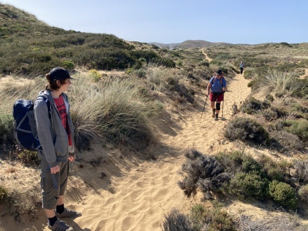
A great spot, a well designed modern hostel and a friendly and delicious restaurant next door made for a good night before we headed of again at the leisurely hour of 9.30 with only about 10 km to do that day. An easy day we thought, having broken the 20 km stage to Arrifana in half. It was uphill all the way mind you but 150 m over that distance should be easy peasy. But very soon after starting we were slogging along tracks of deep soft sand, always a energy sapping surface.

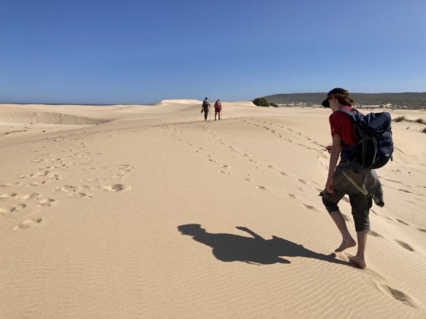
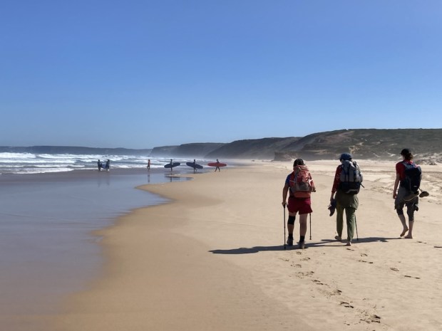
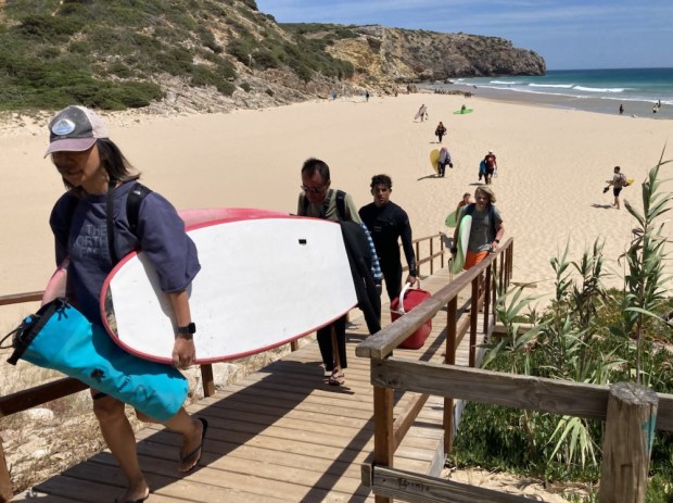
Across the Sahara like dunes to the hard wet sand of the beach at Praia da Bordeira where a class of surf schoolers were trying their luck in the mushy waves.

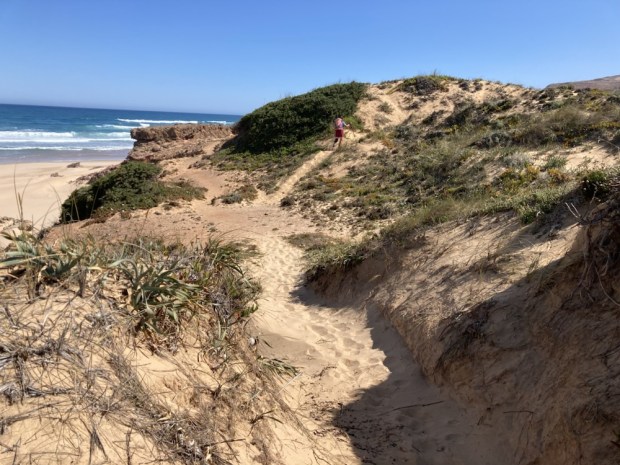
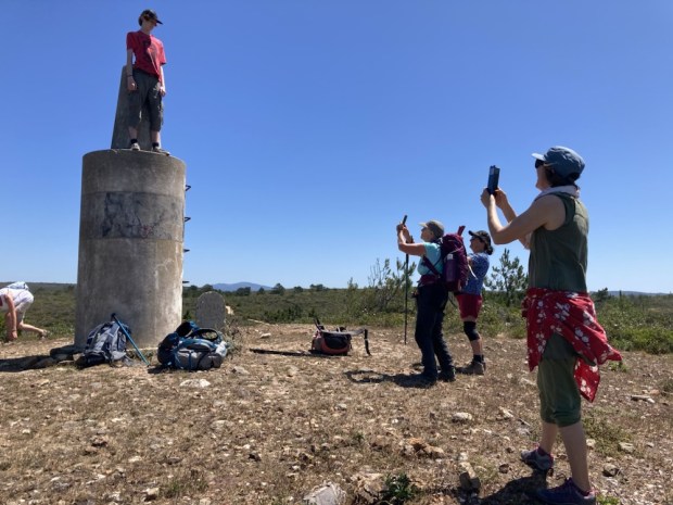
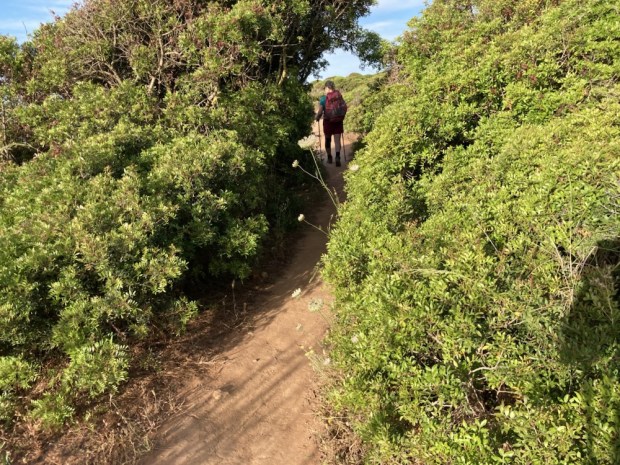
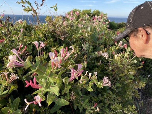
At the end of the beach the climbing began, first up to the cliff top and then turning away from the sea on a succession of soft soft sandy tracks up and up to a trig point at 158 m. The treasure trove of plant life in my eyes , the heady scent in my nose and Eddie Kendricks ” Keep on Trucking” in my ears kept me going along with my desire to get the top.

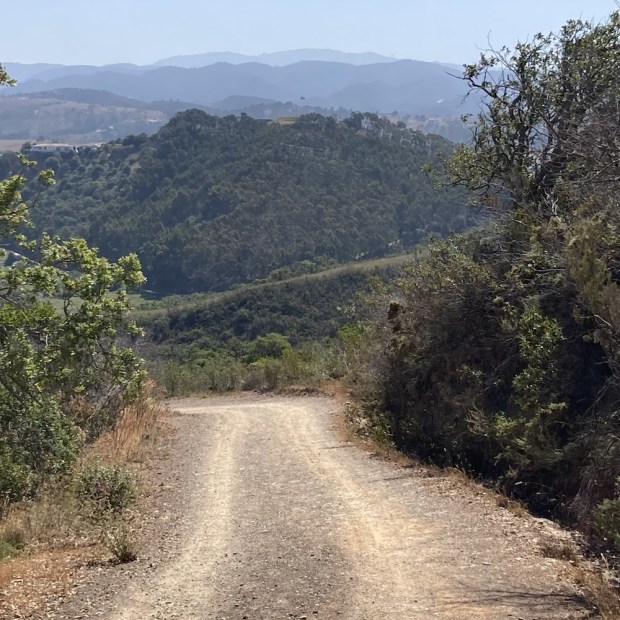
The narrow soft track became a wide hard one and with the climbing done and some resting in the shade of eucalyptus coppice before too long we were walking through fields of grain and enjoying our just rewards in more lovely designer accommodation at Barranco da Fonte.

Another fine day on the Fisherman’s over.

THE FISHERMANS TRAIL 2: Zavial to Vila do Bispo 2 days

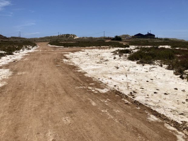
We enjoyed our night at the funky Hostel on the Hill and a drink and meal around the corner at Favo’s where a band played to their hippie blow in mates and in the early morning we headed off to rejoin the trail at Praia do Barranco, another hippie surfer hang out. So rather than go back down the tarmac road from Hortas do Tabual to Zavial we struck southwest on some dirt tracks that wound through mostly abandoned farmland ( but we saw some signs of caravan homesteads. Maybe someone from the night before).

Even quite far out in the campo there were some smart houses with smarter gardens but mostly the way was wild and getting wilder as we approached the coast.

There were maybe half a dozen live in vans of surfers parked up at the beach and one very smart, very big German campervan that headed off soon after we got there. Maybe they went in search of more amenable neighbours. We stopped to chat to a young fella ,( they’re all young to us), who was going from Sagres to Burgau that day god help him. That’s 8 tough km more than the already toughest day of the entire trail.

He pointed out our route, a long sloping rocky path leading to a flat prairie land high above the beach. A very different zone

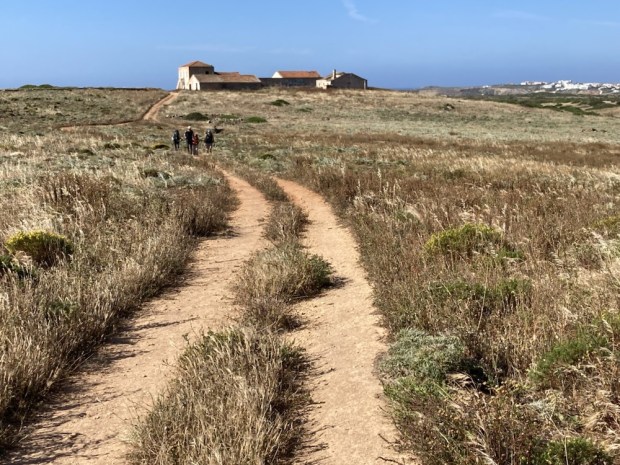
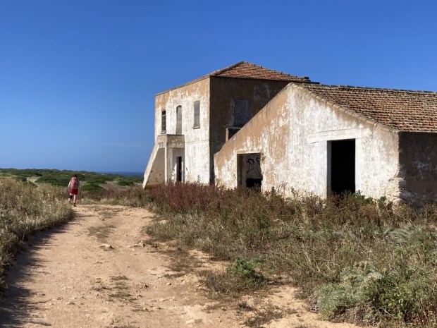
It was more abandonment. I don’t know if this was grazing, grain or grassland but the imposing farmhouse was long empty and the dirt roads led hither and thither to no obvious purpose. The nasty looking thistles were taking over. Maybe the butterflies liked them.

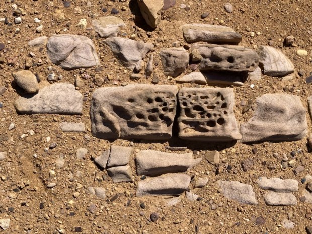
Crossing the headland we came slowly back down to the coast where fierce erosion had left fluted sculpture in the clay. The clay here had supported a big Roman industry of amphora potteries for packing fish in for export around the empire.

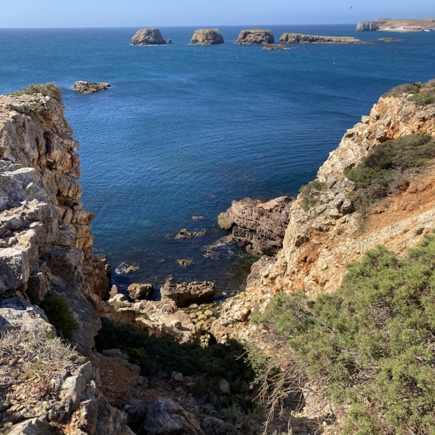
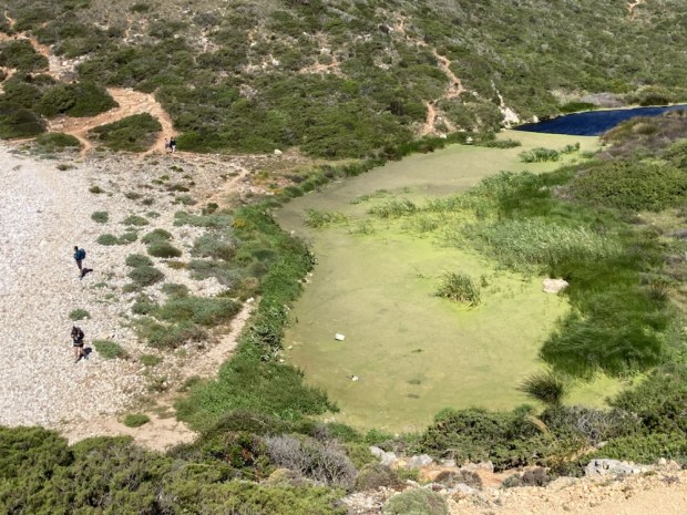
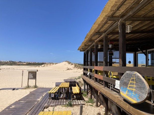
The coast under us was more rugged here with rocky coves and the Martinhal islands just off the shore. There was lagoon resounding to the call of the frogs hiding under a skin of algae, a smart resort with trackside loungers and then, blessed relief, a beach bar on the outskirts of Sagres.

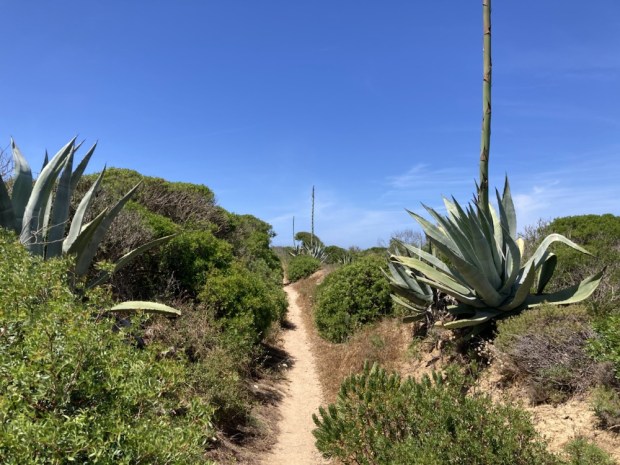
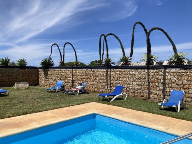
Google maps devised an interesting route to our bed. On salted tracks past rivers of dried algae, up narrow paths between the flowering storks of agave and through development zones. All worth while when we got there and cooled off in the pool.

A cab ride out to the lighthouse on the Cabo in the morning bypassed 5 km of roadside trail and shortened our days hike from 20km to a more manageable 14km. Too early to be open it was nice to be there without the tourist crowds. This place has been special and sacred to many peoples over millennia. There is a rich concentration of Neolithic menhirs in the area and both the Greek and the Romans had temples here. In fact Sagres is derived from Sacrum meaning ” sacred place”and the body of the martyr, St Vicente , whom the cape is named after were supposedly washed up here. A shrine guarded by ravens was built over the grave till the body was moved to Lisbon in 1173 still accompanied by the ravens.

We had to turn back up the road for a little ways before turning onto the track heading north up the Wild West coast from the most westerly point of Europe. The thick rich vegetation was as we remembered from our previous trip and the stony track too.

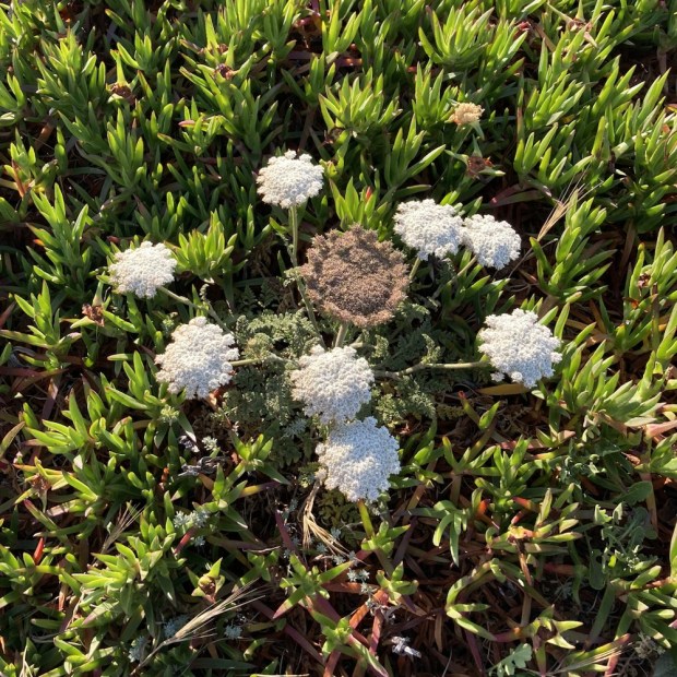
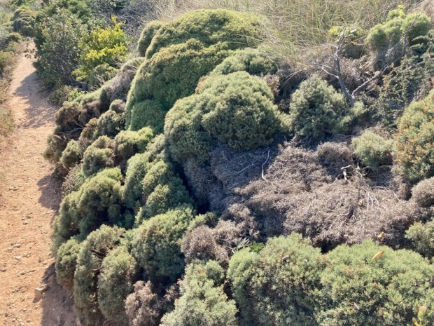
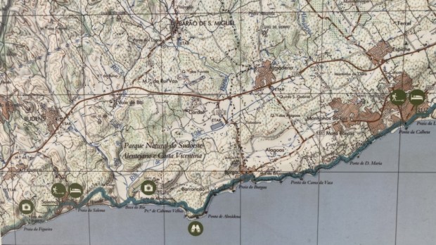
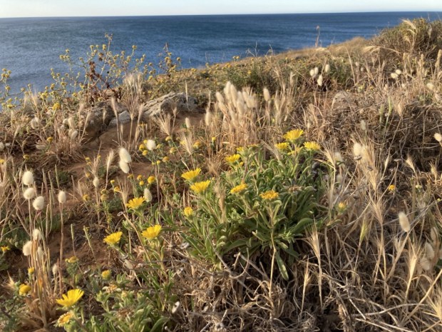
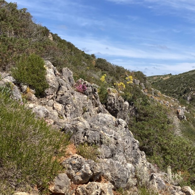
This whole area , the Parque Natural do Sudoeste Alentejano e Costa Vicentina, is famous for its bird life and there is a birding festival in Sagres every October. The flora is also particularly spectacular with hordes of species endemic to the area. Im afraid I can’t tell you the names of them but I recognise many from home and also our last trip here. There were so many beautiful little natural rockery gardens all around us it was stunning. Some of the miniature gorse had grown as if a gardener had lavished hours of topiary upon them.

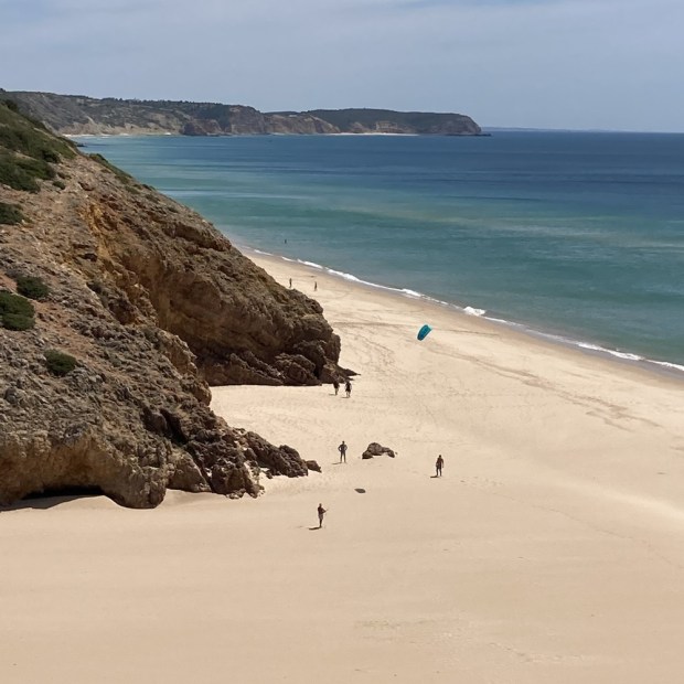
The roar of the ocean was a constant companion and we had many opportunities to marvel and the multi hued rocks, geological splendours , fine sand beaches and crashing waves.

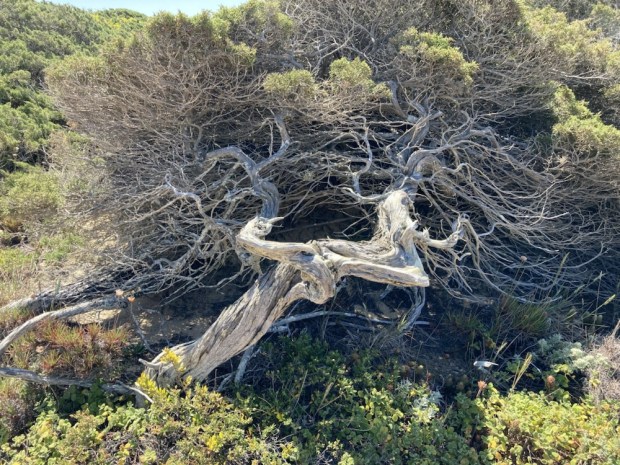
The wind however was blowing hard enough for official weather warnings. With the strong wind from the north we remembered why the official advice is to walk north to south. The low growth and sprawling habit of the plant life attested to the prevailing conditions.

Eventually we came to where we joined up with the Historical Way, another network of trails that works its way up and down the west coast of Alentejo province. This coincided with major track ” improvement” and a newly laid thick gravel surface.

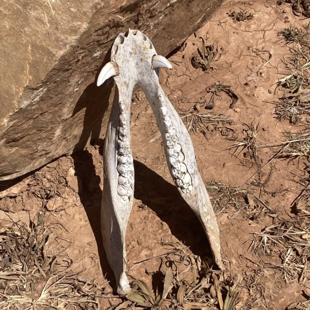
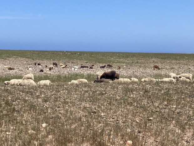
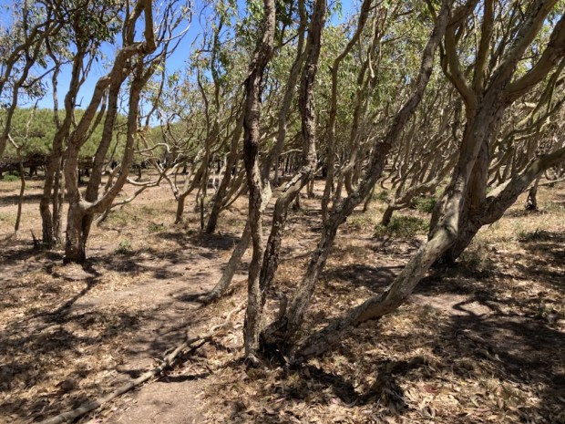
A few strange things came and went. Boars jaw, hi tech structure, dust clouds and a field of goats and sheep with no fence to restrain them. A wind formed wood and poor crops led us into Vila do Bispo.

Here we meet up with 3 friends from Spain who join us for a few days walking.

THE FISHERMANS TRAIL 2: Lagos to Zavial 3 days

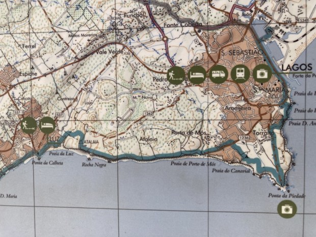
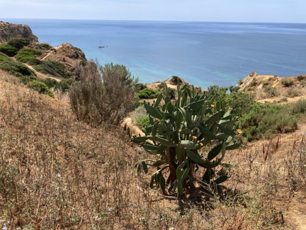
Back in Portugal after last years Camino and back on the Fisherman’s Trail after 4 years. Since then the trail has been extended along the south coast to Lagos so this time we’re starting there and going around the Cape of Sao Vicente and north up the west coast to Aljezur where we started last time. This trip is only about 120 km over 9 days but with the condition our bodies are in and the rugged up and downs of the trail it’ll be enough of a challenge.

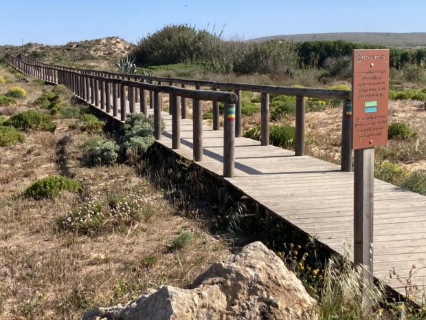
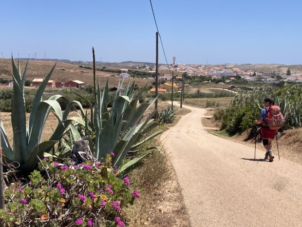
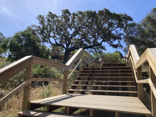
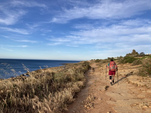
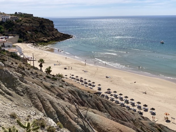
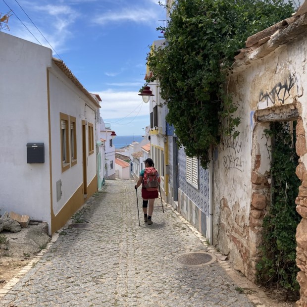
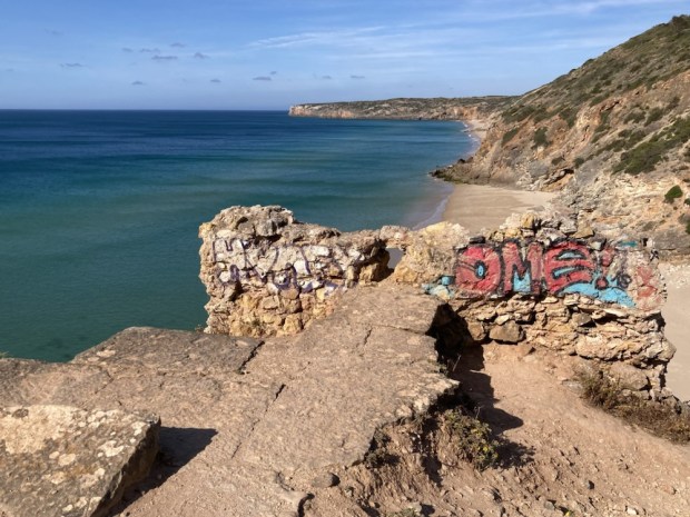
And back to the Portuguese cobbles. By plane to Faro, train to Lagos, and cab out of town to the trail at Praia de Dona Ana where after the starting line selfie we clambered onto the boardwalk steps to begin a long stretch of timbered trail past a dazzling selection of rocky coves lapped by crystal clear emerald waters.

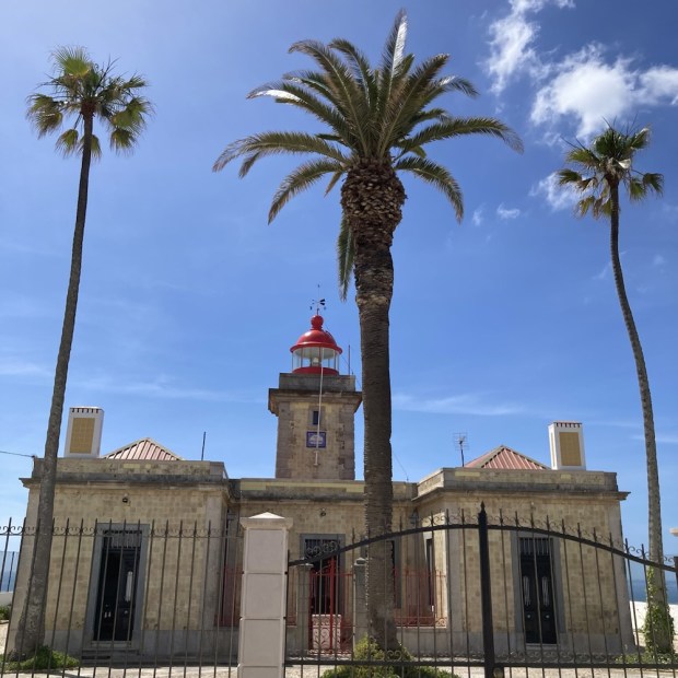
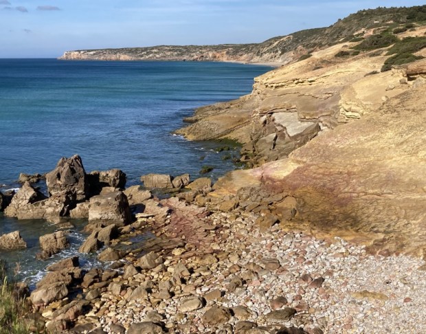
The geology was impressive sandstone , limestone, and otherstone in layers and whorles, caves and arches in a colour palette of earthy hues as we crossed the headland to the old lighthouse at Ponta de Piedale ( Point of Mercy) admiring the flowers huddled dry and hot in the forceful winds.

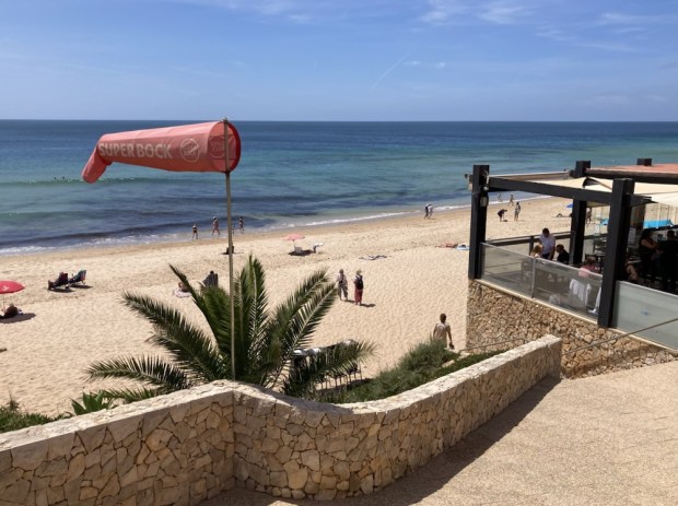
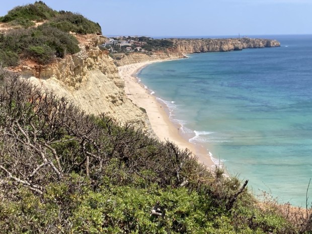
Passing through an enclave of posh villas we came down to a busy Sunday lunch time at Praia de Porto de Mos where we joined the diners at Antonio’s before scaling the path to the cliff top and continuing high above the beautiful beaches to the dramatic black and white monument above the beach of Luz.

A long clamber down into the popular town with its beach and cafe restaurants both of which we enjoyed at leisure before continuing up the cliff top path at the western end of town, passing ever more grand building dreams to our more modest space for the night, although we did have the cool pool I needed.

Next morning we retraced our steps to the cliff top path to carry on west, warned by a local ,(German), to keep away from the crumbling cliff top as every year some folk are lost, in fact just 2 weeks ago- and still no body found. The sky was blue and clear again and we were glad to have made an early start as the temperature rose. A lovely path past many old lime kilns and across high ground full of flowers before a descent to Burgau where we stopped for breakfast at a very good bakery, cafe and supermarket. A popular place we were surrounded by ex pats of many varieties.
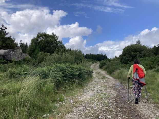
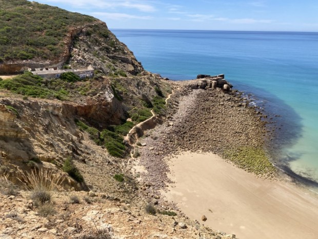
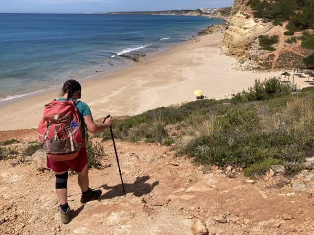
Exiting the town through a rather surreal mix of controlled and wild landscape of multicoloured rock, we again climbed up to the high cliff top plateau and continued past what I guessed to be some old mine workings before dropping to another pristine beach where I could no longer resist the cooling ( seriously cooling!) waters.

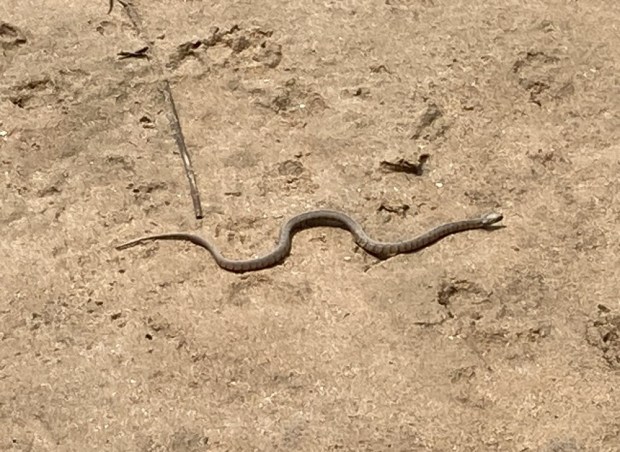
Another steep climb up away from the beach and along to the 17c fort built by Luis de Sousa in an attempt to protect the coast from pirates and privateers before we again dropped down on a steep and slippy path to Boca do Rio where a snake slithered back to the river as we passed. Once more we ascended on weary legs with panting breath to gain the heights for the final time that day, grateful for the level cliff top but wary of the inevitable descent. Happy when Salema came into view, happier still to discover a fine old “era” or threshing circle nearly lost to the plants.

Before long we were down among its charming streets and making ourselves at home on our top floor balcony (second from left!) before an invigorating dip in the still flat calm sea.

Our third day on the trail was the toughest so far even though we only managed about 9 km. We had split the 20km stage from Salema to Sagres into two, booking a room at the Hostel on the Hill, a couple of km in land from Zavial beach. An easy day we thought. An easy trail altogether we thought. We had studied the altitude profiles of all the days from the comfort of our sitting room and it had all looked benign. Looks can be deceiving.

We were warned by a lady at breakfast in the hotel “It’s horrible”.

“So steep and slippy”

“It’s dangerous, be very careful”

Mind you perhaps we didn’t make it as easy as we could for ourselves by following some shortcut Wikiloc trails and not the official Fishermans but after climbing out of town in the road we veered off on a narrow cliffside rather than cliff top path. It had some challenging sections we’ll say.

There were a few stretches that reminded me of the clambering on the rocky Lycian Way trail but after we rejoined the “official Fisherman’s” things calmed down and we romped along for awhile till we had to tackle another near vertical ascent on rock and tree roots. But the views of the untouched looking beaches and the wild flowers were enough to keep us going.

Another descent another ascent and another unofficial shortcut, that luckily ended well, and we were on the final leg, on a lovely high rocky plateau full of flowers. This led to the Ponta de Torre where suddenly we heard the sound of crashing waves and the wind, as we gained the high point, was a different beast. Things had changed. The calm had gone. The surfers were out.

A much needed drink and food at the beachside restaurant and we started up the hill towards the Hostel on the Hill. Sticking our thumbs out was rewarded by a smart white Range Rover picking us up.

So now we are done for the day. 6 more days to go. It’s going to get easier.

Mt CONGREVE and SLIEVENAMON

In a few days we are off to Portugal to attempt to complete the Fisherman’s Trail, the top half of which we enjoyed nearly 4 years ago but before I write about that I thought I’d just throw in a quick missive on our last outing.

We’ve explored the 70 acre Mount Congreve estate near Waterford a couple of times over the years, (the last time during its extensive 1 1/2 year closure for renovation when we couldn’t resist sneaking in through an open fence) and hearing it had reopened this spring we headed off to feast our eyes on the floral splendours.

Recognised as “One of the Great Gardens of the World” it’s magnificent collection of Azaleas, Camellias, Magnolias, Pieris and Rhododendrons make it a particular joy at this time of year but the walled garden, avenues and lawns contain mass plantings of interest throughout the seasons.

Left to the State by Ambrose Congreve when he died in London on his way to the 2011 Chelsea Flower Show at 104 years old, the family motto ” He does not die whose good name lives on” seems very appropriate as does the place of his death, although it’s a pity he didn’t make it to the show first.

Ambrose was the last of 6 generations of Congreve to live on the estate since the house was built in 1760.

In the 60’s when Ambrose moved in he employed Dutch horticulturist Herman Dool who transformed the woodland gardens and set about creating the gardens as they are today including raising hundreds of Magnolias from seed collected in the Himalayas.

We followed the 16 km of trails laid out through the over 3000 species of trees and scrubs, meandering off on little side tracks leading hither and thither. Sweeps of bluebells and white three cornered leek filled the spaces between fine mature trees from the original planting and a carpet of frittilaria lay beneath an avenue of magnolia.

Ambrose and his wife were lucky enough to both be buried in their beloved garden, something that Galway Council have forbidden me, and their final resting place beneath a classical temple has a fine view down to the sweep of the River Suir.

The Georgian glasshouse is in a bit of a sorry state but plans are to restore it next year as well as get a Masters QQI level 5 gardening course up and running in the west wing of the house. It seems that nearly all of the €7 million spent on the estate went into the House, Gift Shop, Visitor Centre and Restaurant with precious little for the gardens or gardeners. Many of the loyal and long term gardening team are about to retire and fear for the future if the plants are left in the care of students and volunteers.

But such is the scale and grandeur of the gardens that although I can imagine some wilding going on I think that Ambrose’s creation will endure for future generations- climate permitting.

We headed off to spend the night in another grand house, Faithlegg, on the other side of Waterford city above the meeting of the Three Sisters, the Nore the Suir and the Barrow.

As is unfortunately often the case the houses parklands had been given over to a golf course but I was able to get down to the tidal river lands in the early morning to explore before we headed off to the Mountain of the Women.

The 720m Slievenamon summit rises isolated from the flat river plain of Tipperary between Carrick on Suir and Clonmel. I had my eye on it while hiking down the Suir a few years ago and have always noticed it’s imposing bulk while driving past on the way to Rosslare ferrys.

So with a fine sunny day forecast and returning home past it- no better time. Except of course my health and fitness are not what they were and all recent hikes have been pretty flattish so with 475m elevation gain it was going to be a challenge. Listed as “Hard” on AllTrails even though our planned route was only 6 km it was a pretty relentless uphill slog.

After a quick sandwich we started up the stony boreen to be greeted higher up by a lovingly created mini garden for insects, flowers and fairies. Maybe because the mountain has been associated with witches, fairies and mythical women or maybe just a farmers child creative display.

Soon after a gate allowed us access to the 5000 acres of open mountain comonage and a chance for a rest on the ” memory seat” before starting the long slog up beside a well worn track eroded into the shaley ground.

It’s a popular route and the good weather had drawn out groups and solitary walkers and more serious fell runners. It seems to be a popular training ground and one diminutive fellow who offered encouragement as he overtook us on his way up was coming up again as we went down. Could have been at it all day.

There was a race in folklore when the fastest woman up won the hand of Fionn MacCumhaill who cheated by helping his favourite, Grainne to the summit. It didn’t do him much good in the end though as she eloped with Diarmuid and the pair of them went on to have rocky “beds” on many an Irish mountain.

After multiple stops to catch my laboured breath we approached the large summit cairn or passage tomb reputed to be an entrance to the Celtic underworld. It’s also where the diminutive and magical race the Tuatha De Danann retreated underground when overcome by the physically superior Milesians.

From the top of the cairn the trig pillar and a standing stone were visible across the rounded mound of the summit. The leaning stone thought to be from monastic period was carved with the date 1848 in commemoration of Thomas Francis Meagher’s rebel rousing speech to 50,000 people on the mountain in support of his Irish Confederation. Following the failure of the Young Irelander Rebellion he was sentenced to be ” hanged, drawn and quartered” but this was commuted to Penal exile to Tasmania.

Time for the descent. The easy bit for me the tough bit for Sallys knees. The views all around were worth the effort of achieving them. The Comeraghs, Knockmealdowns and Galtees ranged away to the south and west whilst the rich farmlands of Kilkenny spread like a blanket to the north.
The day was still cloudless and with a fair few hours of daylight left there were people on the way up as we retraced our steps back to the Memory Seat and the stony boreen to the car. I was pleased to have made it up there. Life in the old dog yet.